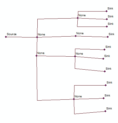
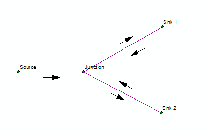
I have a task in ArcGIS which involves using Geometric Network and right now I am experimenting with Set Flow direction function from Utility Network Analyst toolbar in ArcMap. I've read section Flow direction in a geometric network from the help but there is some unclear for me things left.
I want to clearly understand how this function is working in ArcGIS. So, I've:
- Created two feature classes in common feature dataset: one polyline
pipelinesand second - pointwater_obj(there will be junctions, sources and consumers). - Created
Geometric Network, added there these two feature classes. Forwater_objI have stated possibility to set Source/Sink. - Established connectivity rules:
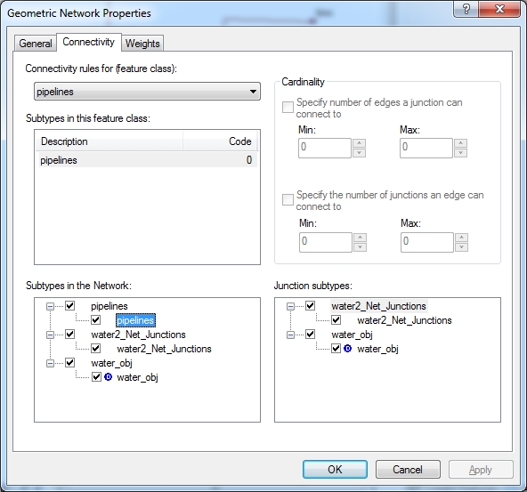
pipelinescan connect towater_objand set it to default.pipelinescan connect to otherpipelinesviawater_obj.
Result of my connectivity rules looks like:
Then goes my testing...
STEP1
Trying to draw some example edges and click Set Flow direction button:
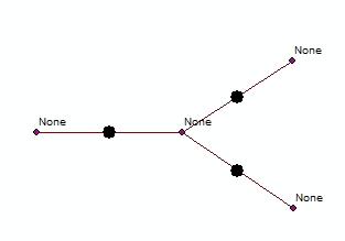
Having Indeterminate flow and this is predictable.
STEP2
Change one junction to Sink:
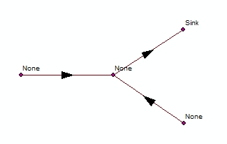
This is also OK and corresponds to documentation.
STEP3
Change one more junction to Sink:
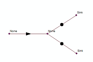
This one actually I can't understand.
STEP4
Trying to add source:
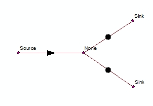
Nothing changed.
QUESTION
Finally I need to create a utility network with many consumers (connected houses to water net).
How can I correctly create it in order to be able to use Set Flow direction? I am trying to avoid custom programming of flow direction if it will be possible.
Can anybody point me into right way?
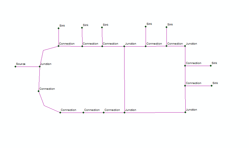
PS the final network should look like:
