4

I'm trying to accurately delineate a watershed into sub-basins using dams as pour points. I'm using the hydrology toolset, but I can't seem to get rid of straight edges that are along some of the outermost watersheds. Has anyone else had this problem? Here are a few photos:

In this photo, you can see straight edges along the top, bottom, and bottom left sides of the larger watershed. The thick black line is the given watershed line. The watersheds generated using the watershed tool pretty closely follows it, except for the areas just mentioned.
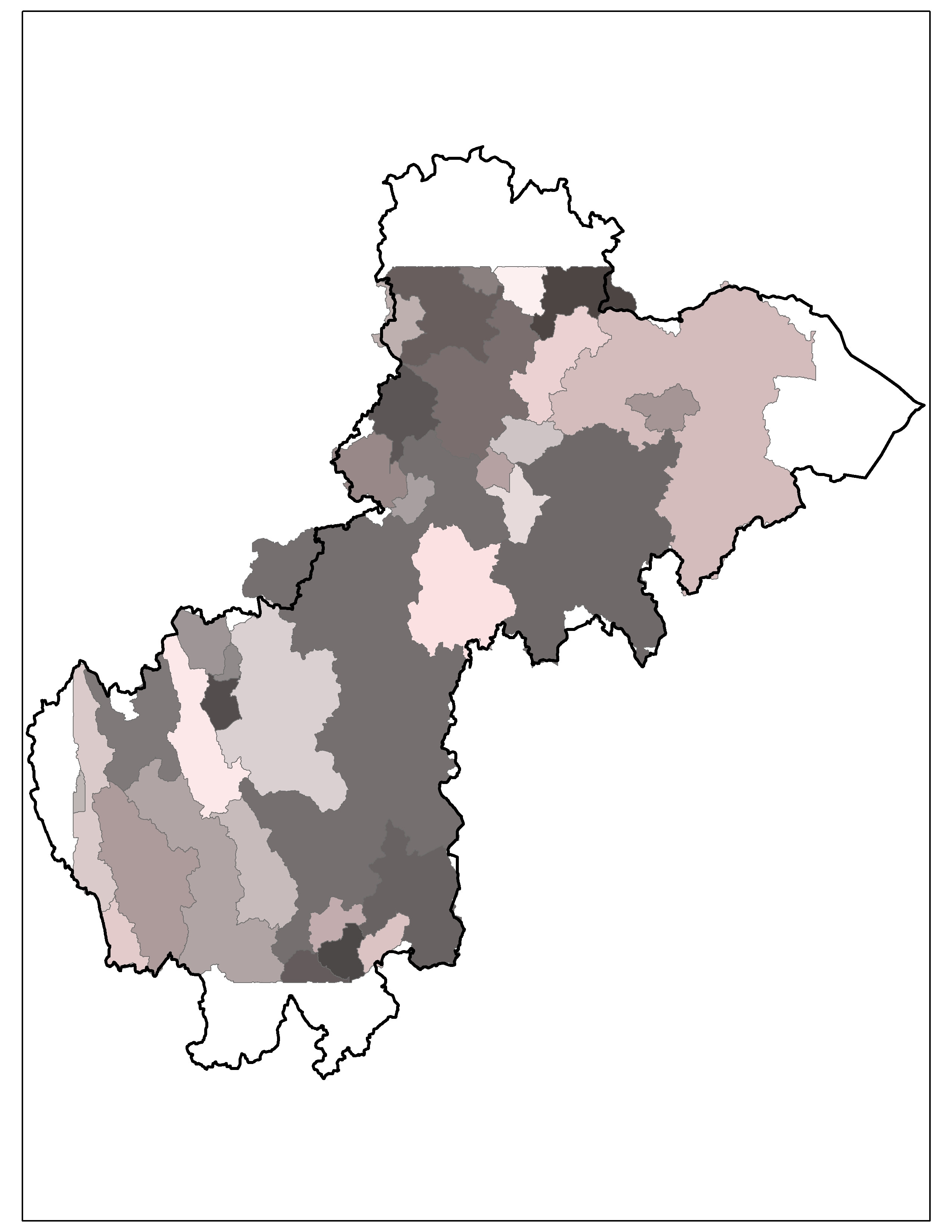
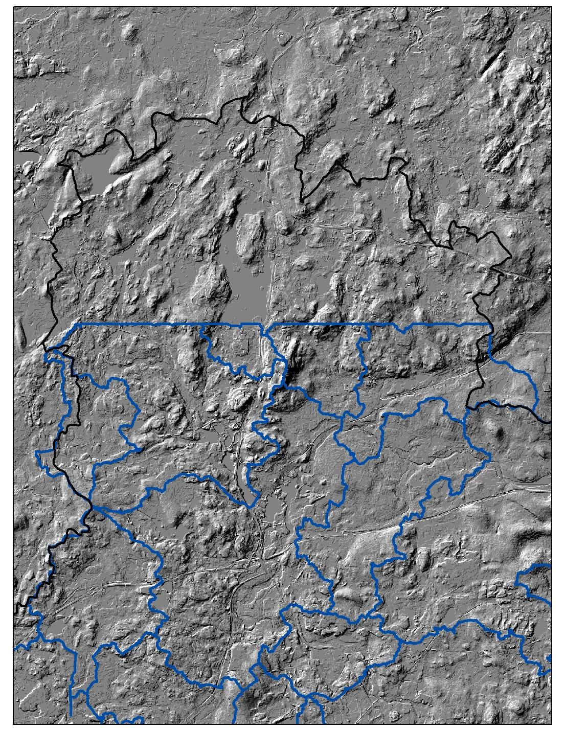
enter image description here This next one is a close-up of the top with the DEM I used (5 m cell size).

enter image description here

I think it may be that I only ran the fill tool once? If this is it, how to I check for sinks to make sure I do the right number of iterations? Would it be easier to redo this in Arc Hydro?

4
  • 3
    Set environment extent equal your DEM
    – FelixIP
    Commented Aug 10, 2015 at 22:12
  • 1
    Sinks won't cause flat edges like that, and depending on your DEM you may not even need to fill sinks. As @FelixIP alluded to, it seems the extent of processing is being affected. I hate to say it, but it looks like your DEM is smaller than the watershed! Can you add an image with the DEM visible?
    – Adam
    Commented Aug 10, 2015 at 23:33
  • I adjusted the processing extent to the DEM and it worked! Thank you for the help!
    – user56514
    Commented Aug 12, 2015 at 15:38
  • @FelixIP can you turn that comment into an answer and perhaps just provide a few more words and possible link to the esri docco just so this Q can be marked as answered?
    – jakc
    Commented Aug 19, 2015 at 11:15

1 Answer 1

4

Watershed straight edge is usually clear indication of processing extent being not large enough. I guess that dams extent affected result shown.

Output of watershed tool http://resources.arcgis.com/EN/HELP/MAIN/10.2/index.html#/Watershed/009z00000059000000/ depends on correct value of extent.

It is a good idea to set your extent to DEM extent, set cellsize to DEM one, and snap raster = DEM, using Environment settings prior to using hydrology tools

Your Answer

By clicking “Post Your Answer”, you agree to our terms of service and acknowledge you have read our privacy policy.

Not the answer you're looking for? Browse other questions tagged or ask your own question.