I do not even know if QGIS is the right program for what I need.
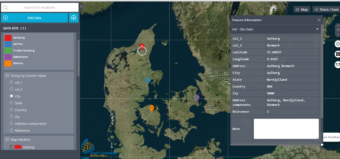
What I need: I need a program with maps (Denmark to be specific), that I could feed with a database of users through a CSV file.. e.g. give it 500 names, addresses etc. and have them dotted on the map or shown in different graphical ways, like perhaps a heat map.
What I did: tried mappoint from microsoft, quickly realised this wasn't the right program, while it was able to accept my CSV file, the way it displayed my users was of no use to me, it is a glorified 'route planner' and not suited for handling multiple selections at the same time.
Where I am at now: I downloaded and installed QGIS thinking this was it, now opening it, I have no idea what to do, and it doesn't look like it holds any standard maps so maybe this program has nothing to do with the solution I need? If not, could you direct me to one?
I'd really like to avoid uploading these CSV file and not expose my users information to the internet, which is why I found solution like google maps not to be the way to go.


