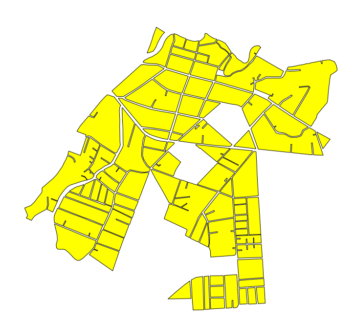
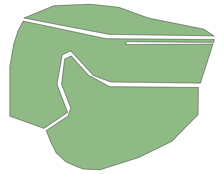
I'm looking to create a boundary around this shapefile of street blocks to have show the city limits in QGIS.

I tried this solution, (Settings > Snapping Options and enabling the "Avoid Int." checkbox, then adding a feature to the polygon via the editor tool) but couldn't get it to work. It is supposed to snap to the outermost parts of the polygon if I interpret it correctly...
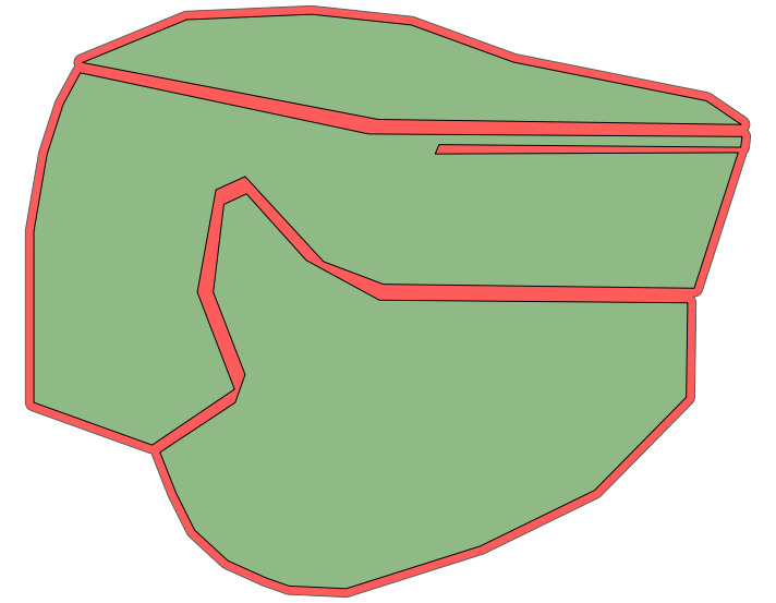
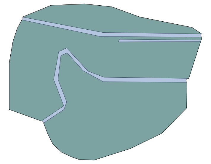
Ideally, the solution would create a polygon that removes the spaces but keeps the outermost parts of the polygon. I believe there is a similar tool in ArcGIS called the Trace Tool if that helps. I'm hoping to get around tracing these by hand via the Snapping Tool.
Thanks everyone,
Zach


