8

I kept a listing of virtual globes in 2005 and 2006, but it's now woefully out of date http://geography2.blogspot.com/2005/11/listing-of-virtual-globes.html. Today, the main four seem to be: Google Earth (proprietary and free), Microsoft Bing Maps 3D (proprietary and free), ESRI ArcGIS Explorer (proprietary and free), and NASA World Wind (free and open source). Many, if not most, are being integrated into the web browser.

What is out there? Any special or particularly innovative capabilities?

5
  • 1
    A few additional notes: Wikipedia listing of virtual globes and capabilities: en.wikipedia.org/wiki/Virtual_globe KDE Marble project looks active; uses OpenStreetMap. edu.kde.org/marble
    – glennon
    Commented Aug 5, 2010 at 20:16
  • was just going to answer w/ Marble! +1 on that comment. Commented Aug 5, 2010 at 20:23
  • Should be community wiki if you want a list
    – fmark
    Commented Aug 6, 2010 at 0:16
  • While I would hate to discourage potential site users, I think we would be best served by setting good standards at the beginning.
    – fmark
    Commented Aug 6, 2010 at 10:48
  • Sorry @glennon. I appreciate the sentiment of encouraging more answers. But getting reputation for simply for being first to contribute to a list isn't reason enough to misuse the feature. I converted this to community wiki. Commented Aug 6, 2010 at 18:28

8 Answers 8

5

RATMAN is a GPLed research project virtual globe, though it hasn't been updated since 2009.

OSSIM Planet, built as part of OSSIM, which includes an API and is the only OSGeo entry to the virtual globe space.

osgEarth, an extension of OpenSceneGraph for globes.

There's also this talk at FOSS4G: Comparison of Open Source Virtual Globes

From the innovation front, better browser integration (Google Earth Plugin & API) and mobile support (including augmented reality) are the largest movements, and hopefully another major change in the next couple of years with the innovation of a WebGL based browser which interoperates on mobile devices.

1
  • BTW: Ratman is both server and client, hence it offers a complete geodata streaming solution
    – markusN
    Commented Jan 27, 2012 at 16:15
3

Concerning the new WebGL technology, there are some interesting project here :

WebGLEarth : http://www.webglearth.com/

The WebGL Globe : http://www.chromeexperiments.com/globe

Both are Open Source project.

2

Virtual Terrain Project - open source project whose aim is "to foster the creation of tools for easily constructing any part of the real world in interactive, 3D digital form." The main components of the toolset is VTBuilder to construct virtual environments (doesn't do whole globes in one shot though), and then of course something to cruise around in the world created, Enviro.

Over the course of time the most valuable component of the VTP project to me has not been the tools but the website itself, which has far ranging and pithy thumbnail reviews of related software (be sure to browse the other categories as well), data, and research papers to name but a few.

2

OssimPlanet is an open source project that is built on the Ossim set of libraries.

1

Two more frameworks:

http://cesiumjs.org is a JavaScript library for creating 3D globes and 2D maps in a web browser without a plugin, based on WebGL

and

http://www.openwebglobe.org also using WebGL

0

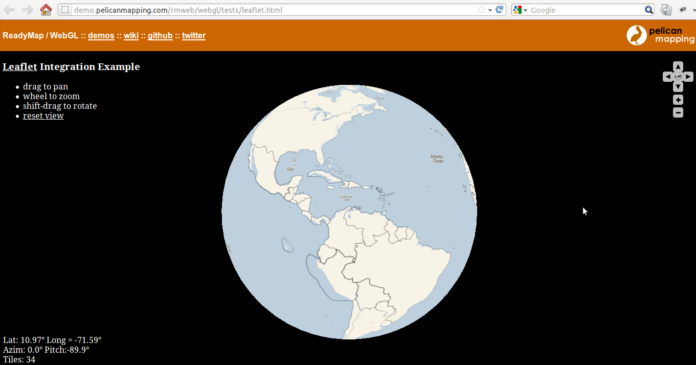
ReadyMap might be another option. Here is an example (with a bonus of Leaflet integration!) [via @LeafletJS]:

enter image description here

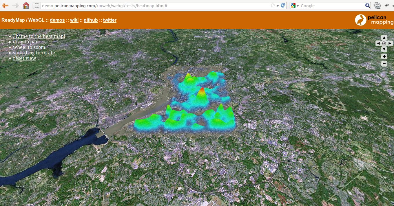
And one more with 3D overlay on the globe:

enter image description here

More: demos, code.

0

Don't forget the World Wind Java SDK, not a final application but a powerful toolit to build your custom one.

Your Answer

By clicking “Post Your Answer”, you agree to our terms of service and acknowledge you have read our privacy policy.

Not the answer you're looking for? Browse other questions tagged or ask your own question.