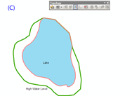
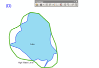
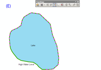
To answer your question, no, there is no 'fill' tool like you're thinking, and it's actually a lot more complicated than it sounds. Those types of tools work on basically 2D raster data and a 'fill by flood' operational concept. That gets more complicated in a vector environment where you have to start considering vertices and not just overlapping lines. Lines crossing doesn't mean they intersect (even in 2D, nevermind 3D) and things have to really be closed or you get a huge increase of processing. Consider a millimeter gap at a corner that flood will escape and start checking every other boundary in the data to see what is 'enclosed'.
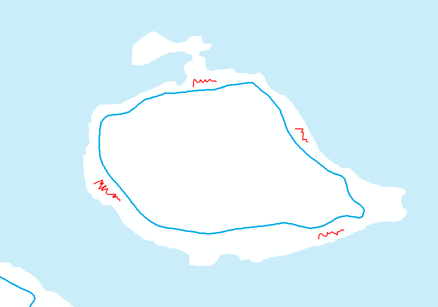
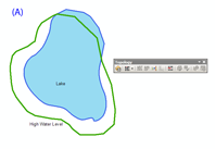
Your problem is actually two separate issues. The first is that your high water line is a) a line and not a polygon and b) not a closed line (the gaps you mention). The second is creating that middle polygon for the hazard area. Here's how I would approach this, but there are certainly other ways.
First, we need to get those highwater lines continuous and closed. There are a number of ways to do this, and without seeing a sample of the data to know how badly they're broken up, I can't suggest one over another.
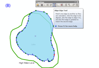
- You could manually edit vertices on each line, connecting any red
node to its neighboring unselected line, and then merge them.
- You could run Dissolve with a tolerance high enough to connect any
gaps.
- Integrate might work too as Alex suggested.
- You could also just create a new feature class to work in (to easily
keep track of which ones you have or haven't done), load in the high
water lines, and use the Trace tool to create a new line following
the old one.
- Depending on your number of records and budget, ET GeoTools has
some tools to clean lines like this.
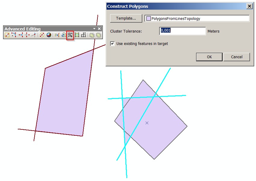
- You can use Feature to Polygon (see below).
You might even consider posting this issue as a separate question. You'll want to show a good example of how many gaps and what kind of tolerance, possibly provide a data sample. Such a question might end up being a duplicate of this one, but I don't think all possible solutions are presented there as most answers consider it in terms of the original data of contour lines.
Next, once I had the lines continuous and closed, I would convert them to polygons. If you have an Advanced license, you can use Feature to Polygon. Note that tool also has a cluster tolerance, so you could potentially use it to solve both this step and the previous one at the same time. The ET tools also have provisions for this function.
Finally, the polygons just created are the new land. To get the hazard areas, again you have a couple of choices. Union can solve the problem whether you have two or three polygon layers. You'll have to work with the created attributes to select and export out the shapes you want to an individual feature class (read the Union help/how it works pages).
- Union your new polys and original land polys, you get a new feature
class with both shapes separate and non-overlapping.
- If all you have is lake polys and your new polys, you can check the
'no gaps' option and Union them to create polys that fill the gap
between the two.
You could also Erase (Advanced only) or Clip your new polys from your land, with the output being your hazard areas.
Any way you do this, create new feature classes with your GP tool outputs or work on copies rather than modify your original data. At some point you may end up with attributes on the wrong set of polys or cutting something you didn't mean to. You just have to think about what attributes and geometry you want where, and make sure you can use what you've got with some tool to get the right combination in the end. For example the results of erasing hazard from land vs the other way around. Or perhaps you want land preserved as it is and the hazard areas will just overlap it as a zone/overlay feature.
