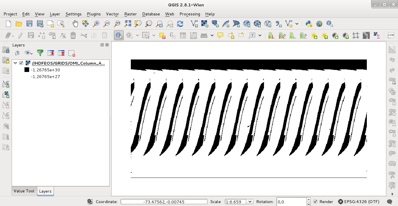
QGIS has GDAL support to open this kind of images. I downloaded this one, OMI-Aura_L3-OMTO3e_2015m0413_v003-2015m0415t025309.he5, and its last subset was opened with QGIS. It looks like:

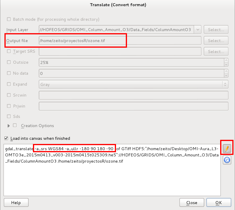
but CRS was undefined. At the metadata of the image you can observe the spatial attributes of the bounding rectangle. To assing it one projection and a new format: Raster -> Conversion -> Translate. Then, at the next image:
Name and GTiff format of output image.
Click in pencil icon.
Modify gdal_translate command adding: "-a_srs WGS84 -a_ullr -180 90 180 -90 ".
Click Ok.

When you load again the image in QGIS it will be georreferenced with the metadata parameters (bounding rectangle: W = -180, N = 90, E =180, S = -90). I checked out the pixels values and them look reasonable. At this point it is already possible GRASS import.
