Post Closed as "Not suitable for this site" by PolyGeo
deleted 7 characters in body; edited title
Source Link
PolyGeo
  • 65.4k
  • 29
  • 114
  • 345

How can i create plygons Creating polygons or a mapbookmap book from a DBF file through ArcpyArcPy?

I have a dbf file, which contained a list of coordinate information as shown in below. It also could be thought as a catalog file. Example:

ID   XMIN       YMIN      XMAX       YMAX
1  -52800.0   -63000.0  -52000.0   -62400.0
2  -48800.0   -60600.0  -48000.0   -60000.0
3  -48800.0   -61200.0  -48000.0   -60600.0
4  -49600.0   -61800.0  -48800.0   -61200.0
5  -48800.0   -61800.0  -48000.0   -61200.0

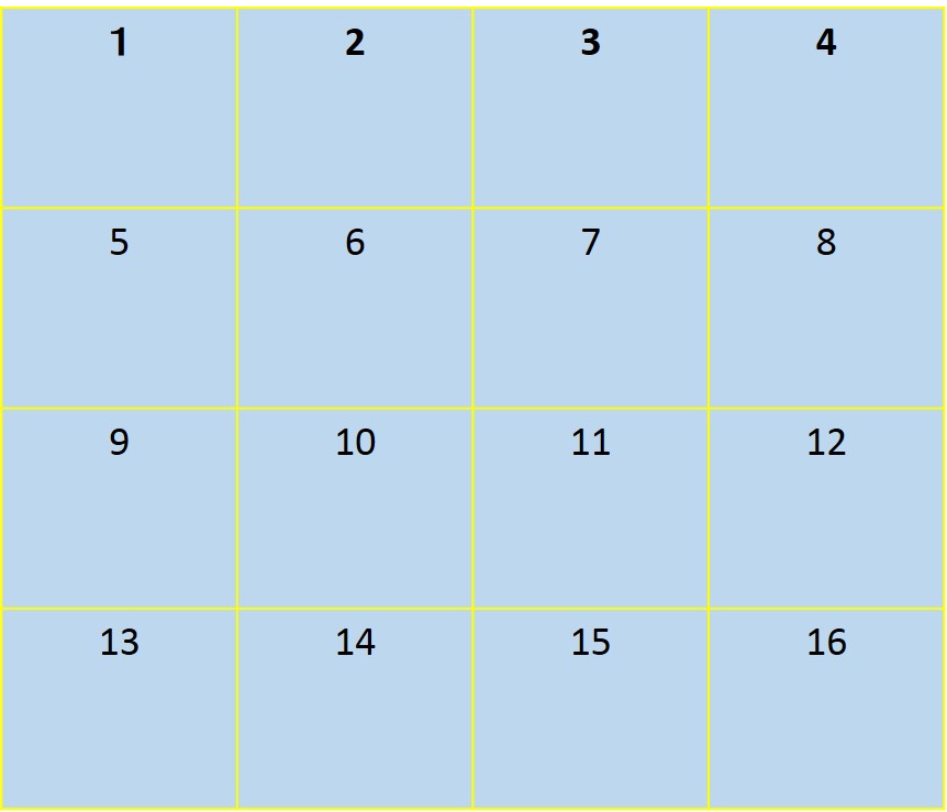
So, how can i extract these information to create shapes or a map book as the picture shown in below. Using Python. Thanks!  

enter image description here

How can i create plygons or a mapbook from a DBF file through Arcpy?

I have a dbf file, which contained a list of coordinate information as shown in below. It also could be thought as a catalog file. Example:

ID   XMIN       YMIN      XMAX       YMAX
1  -52800.0   -63000.0  -52000.0   -62400.0
2  -48800.0   -60600.0  -48000.0   -60000.0
3  -48800.0   -61200.0  -48000.0   -60600.0
4  -49600.0   -61800.0  -48800.0   -61200.0
5  -48800.0   -61800.0  -48000.0   -61200.0

So, how can i extract these information to create shapes or a map book as the picture shown in below. Using Python. Thanks! enter image description here
Creating polygons or map book from DBF file through ArcPy?

I have a dbf file, which contained a list of coordinate information as shown in below. It also could be thought as a catalog file. Example:

ID   XMIN       YMIN      XMAX       YMAX
1  -52800.0   -63000.0  -52000.0   -62400.0
2  -48800.0   -60600.0  -48000.0   -60000.0
3  -48800.0   -61200.0  -48000.0   -60600.0
4  -49600.0   -61800.0  -48800.0   -61200.0
5  -48800.0   -61800.0  -48000.0   -61200.0

So, how can i extract these information to create shapes or a map book as the picture shown in below. Using Python. 

enter image description here

Source Link
King-Zhao
  • 319
  • 1
  • 4
  • 11

How can i create plygons or a mapbook from a DBF file through Arcpy?

I have a dbf file, which contained a list of coordinate information as shown in below. It also could be thought as a catalog file. Example:

ID   XMIN       YMIN      XMAX       YMAX
1  -52800.0   -63000.0  -52000.0   -62400.0
2  -48800.0   -60600.0  -48000.0   -60000.0
3  -48800.0   -61200.0  -48000.0   -60600.0
4  -49600.0   -61800.0  -48800.0   -61200.0
5  -48800.0   -61800.0  -48000.0   -61200.0

So, how can i extract these information to create shapes or a map book as the picture shown in below. Using Python. Thanks! enter image description here