Are there any methods and/or technical guides on how to classify the degree of winding of river bodies?
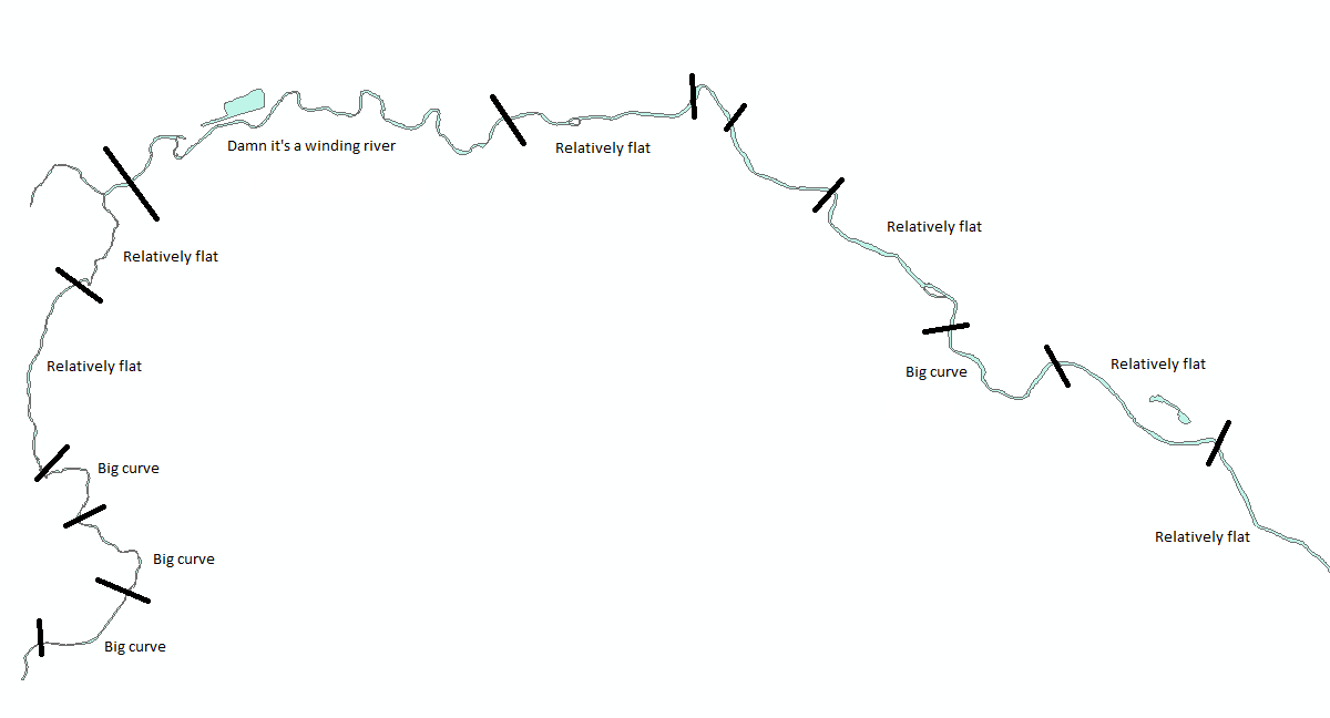
I have the following polygon layer of roughly 100,000 water bodies and would like to write an automated process. I want to divide them into sections based on how flat or curvy they are as shown in the image below.
For now, I'm focusing on x and y dimensions. Eventually, I will look into elevation differentials.

