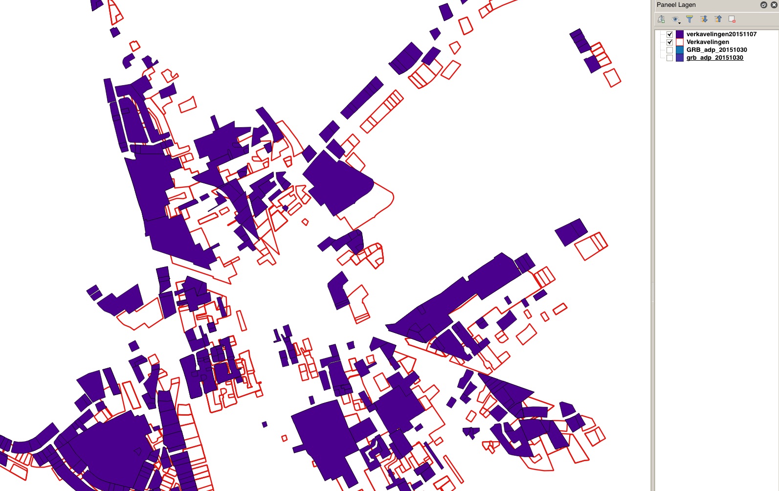
Original datasource is a postgis db table "Verkavelingen" using epsg 31370 as is my project file EPSG:31370 OTF
I have used CartoDB QGIS plugin to export that table to a dataset on CartoDB "verkavelingen20151107" and import that dataset back again in QGIS.
As you can see below my data is nowhas 'shifted' somehow and is not on its original location... Same shift happening when viewing data on the CartoDB website.
Using CartoDB SQL command SELECT ST_Srid(the_geom) FROM verkavelingen20151107 I see my data is in 4326.
Using OpenLayers plugin in QGIS my original dataset shows up fine on Google/OSM background layers.
I'm using QGIS 2.12 & postgresql 9.4.5
Can someone help me out ?

