#DATA
DATA
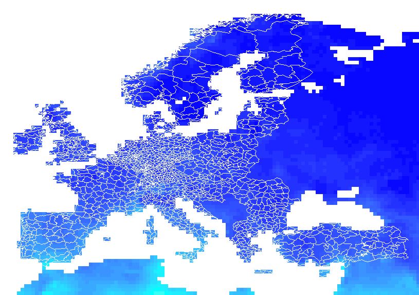
Download from this website the following ZIP file: NUTS_2006_60M_SH.zip and save all the NUTS_RG_60M_2006 files. In what follows I refer to this as "NUTS3 regions".
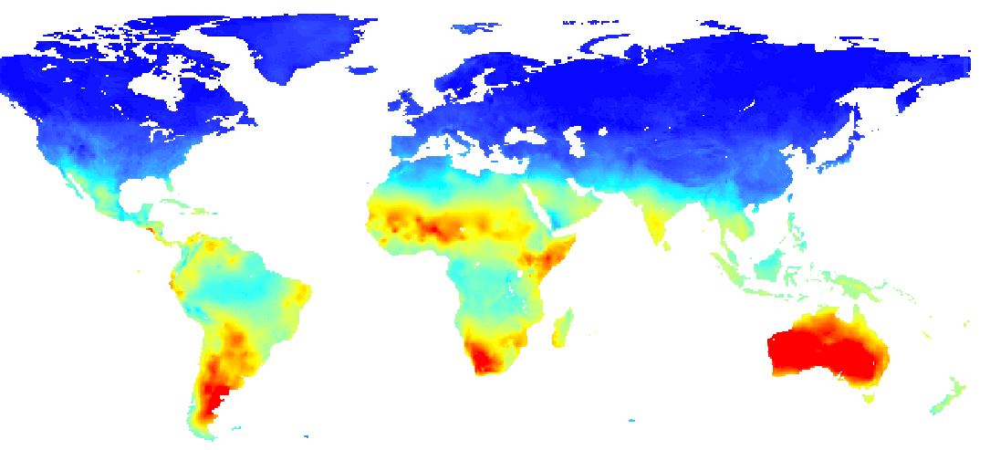
Download from this website the following nc-file: cru_ts3.23.1991.2000.pet.dat.nc.gz This is a raster with data all over the world.
Desired output
#Desired output TheThe nc-file is a raster of the world with values in different colors.
The goal is now to translate these data to a NUTS3 polygon regions and save it back as a nuts3-shapefile with the data added to the polyons.
Software
#Software II can work with R, but since I couldn't make it work in R, I switched to ArcGIS. If the data are added to the NUTS3 shapefile, I can continue working with it in R.
Any solution in R or ArcGIS is welcome, as long as the output is 1 polygon shapefile with all the values added.
Problem
#Problem II can open the nc-file in ArcGIS (toolbox, multi-dimension tools, make netCDF Raster Layer). I can also overlap the nuts3-file with the raster. But I can't merge the data together in one shapefile (by taking the average of the underlying rasters that overlap with one polygon) and drop all the data that I don't need.
I found some examples on how to do this on Google, but only one of them explained how to start from an nc-file. As far as I understood, I first have to right click on the data-layer to export the data as a raster (as it is now only an nc-file and not yet a shapefile). However, this is not working since I get the following error: "Output file format with specified pixel type or number of bands or colormap is not supported."


