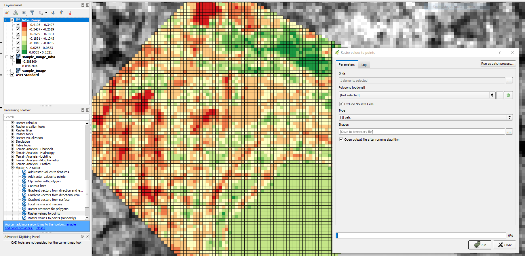
As Kazuhito suggested in the comments I guess you get what you want by using the "Raster values to points"-tool (from Processing toolbox -> SAGA). You keep your original NDVI cell values and get the according x/y-coordinates for each raster cell. By selecting "type: [ 0 ] node" you get points (center points), and by "type: 1 cells" you get polygon features for each raster cell.
You can change the style in the output shapefile symbology to a graduated style by using classesthe classify function to vizualize the NDVI variation.
By the way, I used QGIS 2.18.2

