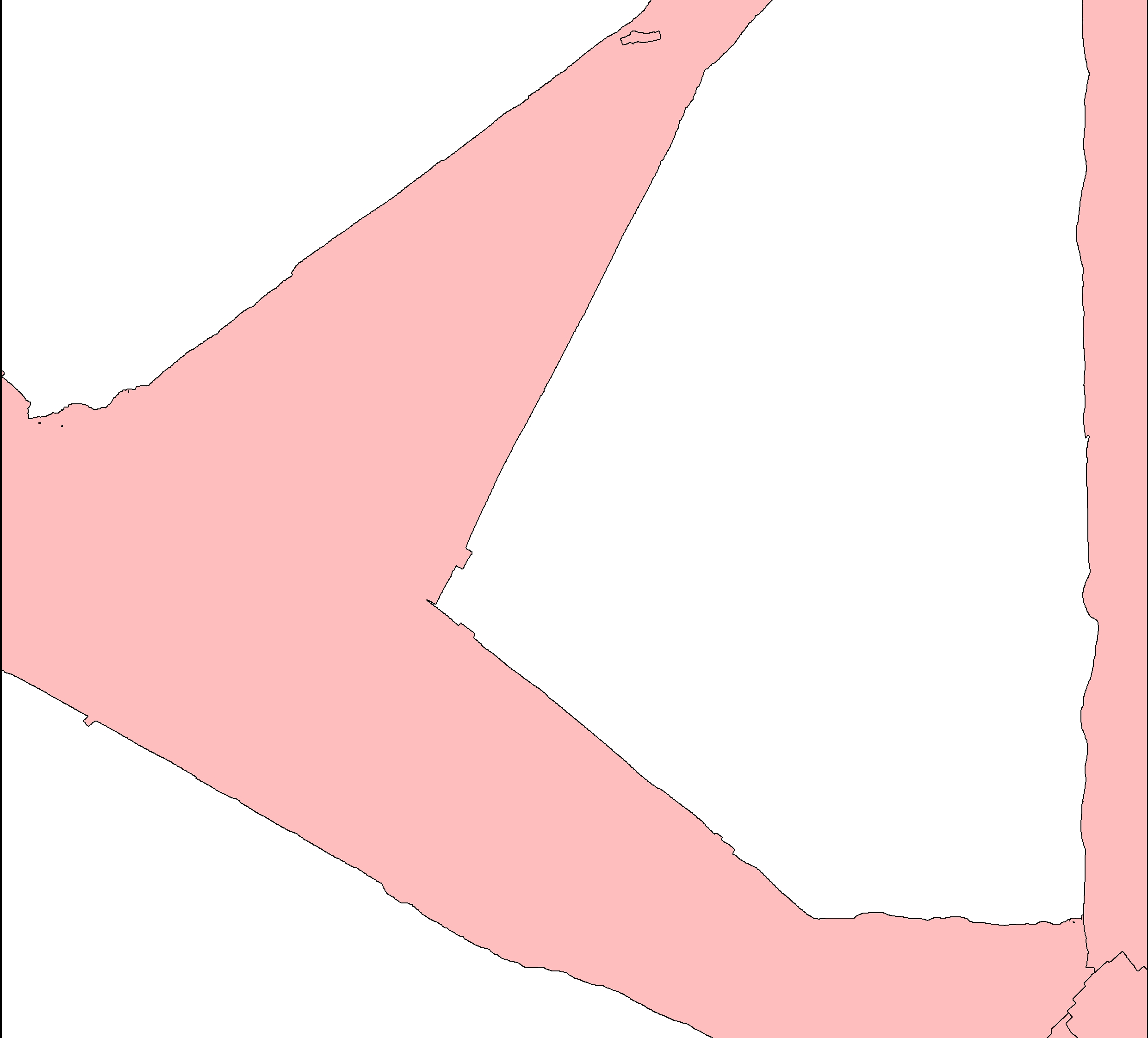
I have a shapefile with polygons that portray survey areas (Pink areas in picture below).
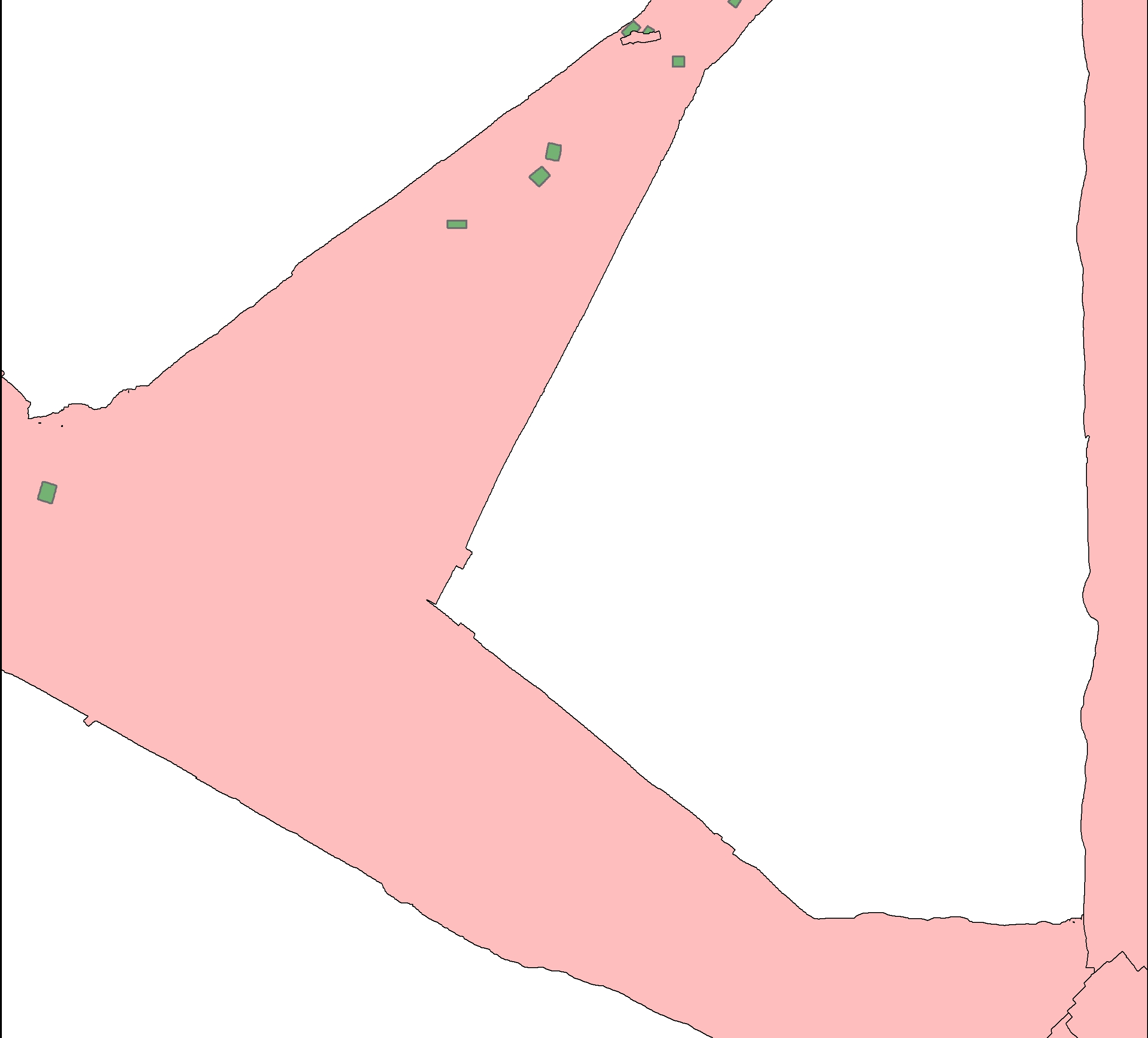
I receive a new updated shapefile with additional survey areas, and thus new polygons (Green areas in picture below)).
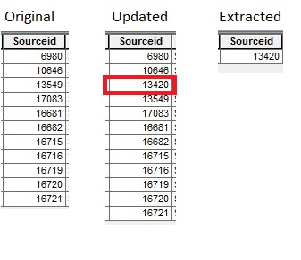
Every polygon has a unique source ID. I want to compare the source ID attribute tables between the original and the updated shape filesshapefiles, in order to extract the difference (see below)
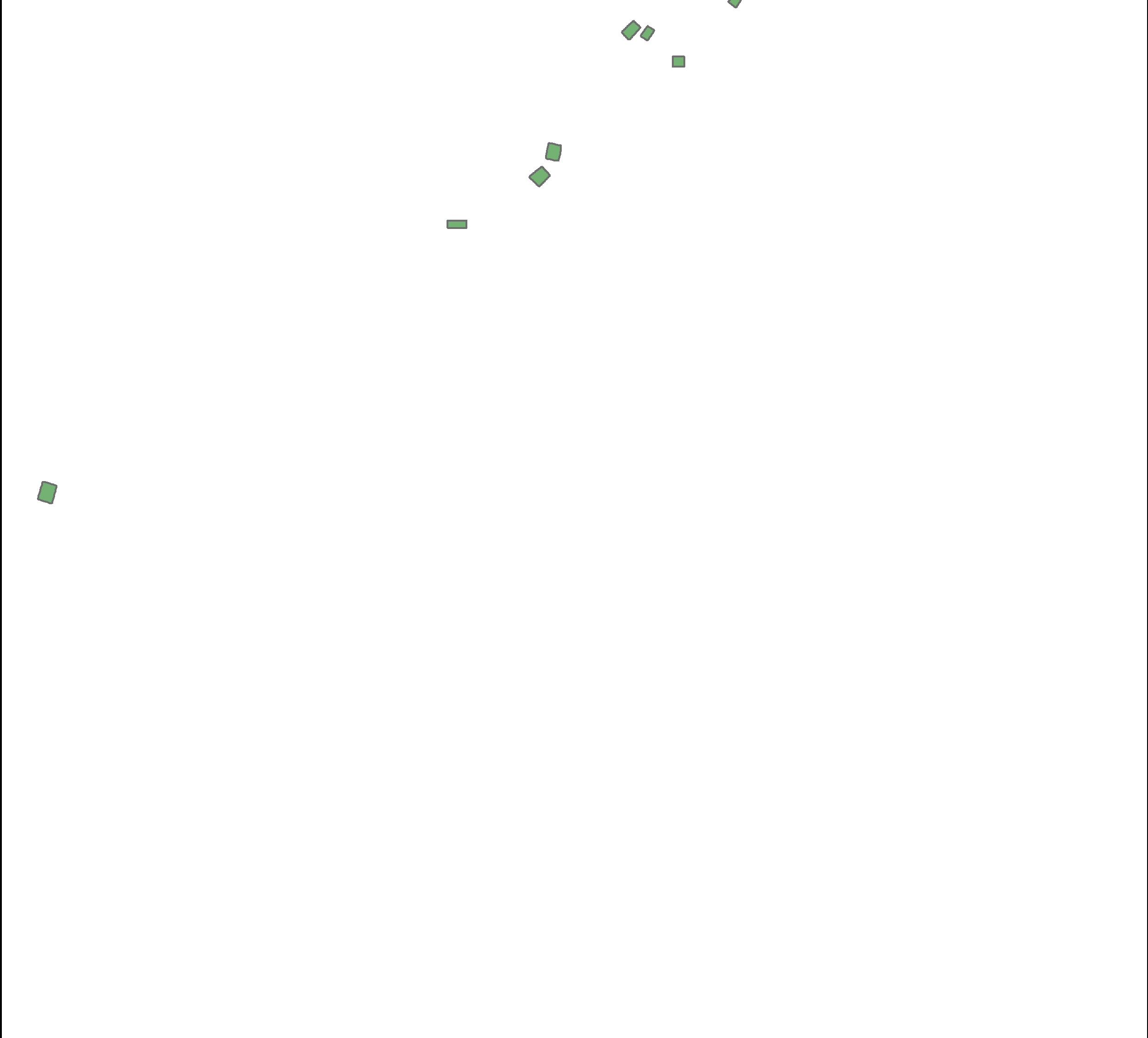
I want it to result in a new shape fileshapefile with only differing polygons (Green areas in picture below).
How do I accomplish this using ArcGIS Desktop?


