rewording
Source Link
kFly
  • 869
  • 1
  • 12
  • 27

QGIS: Georeferencing a scanned map with known LCC projection and lat/long grid using QGIS?

I looking for advice or recommanded methods to georeference scanned maps for which I know the projection.I know the projection and some coordinates with lat/long dat in degrees

In my test case, projection is: lcc: Lambert Conformal Conic - 93 / IGNF:LAMB93)

lcc: Lambert Conformal Conic  - 93 / IGNF:LAMB93)

LAMB93 requires coordinates in meters.

Grids with latitude and longitude are availableThe map contains several cross-hairs marking and I have marked some placeplaces with GPS coordinates.

I have started to georeference the raster(scanned map) with QGIS Plugin using somethese known points with lat/long coordinates in degrees on the map (as explained. I used the tutorials here: Georeferencing Topo Sheets and Scanned Map and here: 15.2. Lesson: Georeferencing a Map )

My concern is that when importing the map in QGIS and superposing on other mapmaps, I have an small offset.

LAMB93 requires coordinates in meters (and/or due to a slight rotation).

I assume that by giving coordinates in degrees, QGIS imports the whole map as "a WGS84 raster". I did not find a way to specify target SRC with a lcc projection.

I tried to specify target SRCused RGF93 (EPSG 4171), but it ended also with a lcc projectionan offset.

My aim is to find a method to import the scanned maps within the original projection (SCR) and correlating the control points with as they have been done

NB: I managed to reduced the offset by using transformation distorsiondistortion of the imported map and multiplying the correlation points, but I am not satisfied with the result and extra work required.

I assume is that because theNotes:

I assume that is becau, the correlation is done assuming a map inQGIS version 3.4 used

However when I import the map,-LAMB93 proj file:

(QGIS 3.4)

Proj4: +proj=lcc +nadgrids=@null +a=6378137.0000 +rf=298.2572221010000 +lat_0=46.500000000 +lon_0=3.000000000 +lat_1=44.000000000 +lat_2=49.000000000 +x_0=700000.000 +y_0=6600000.000 +units=m +no_defs

Georeferencing Plugin Windows-RFG93 proj file:

Proj4: +proj=longlat +ellps=GRS80 +towgs84=0,0,0,0,0,0,0 +no_defs

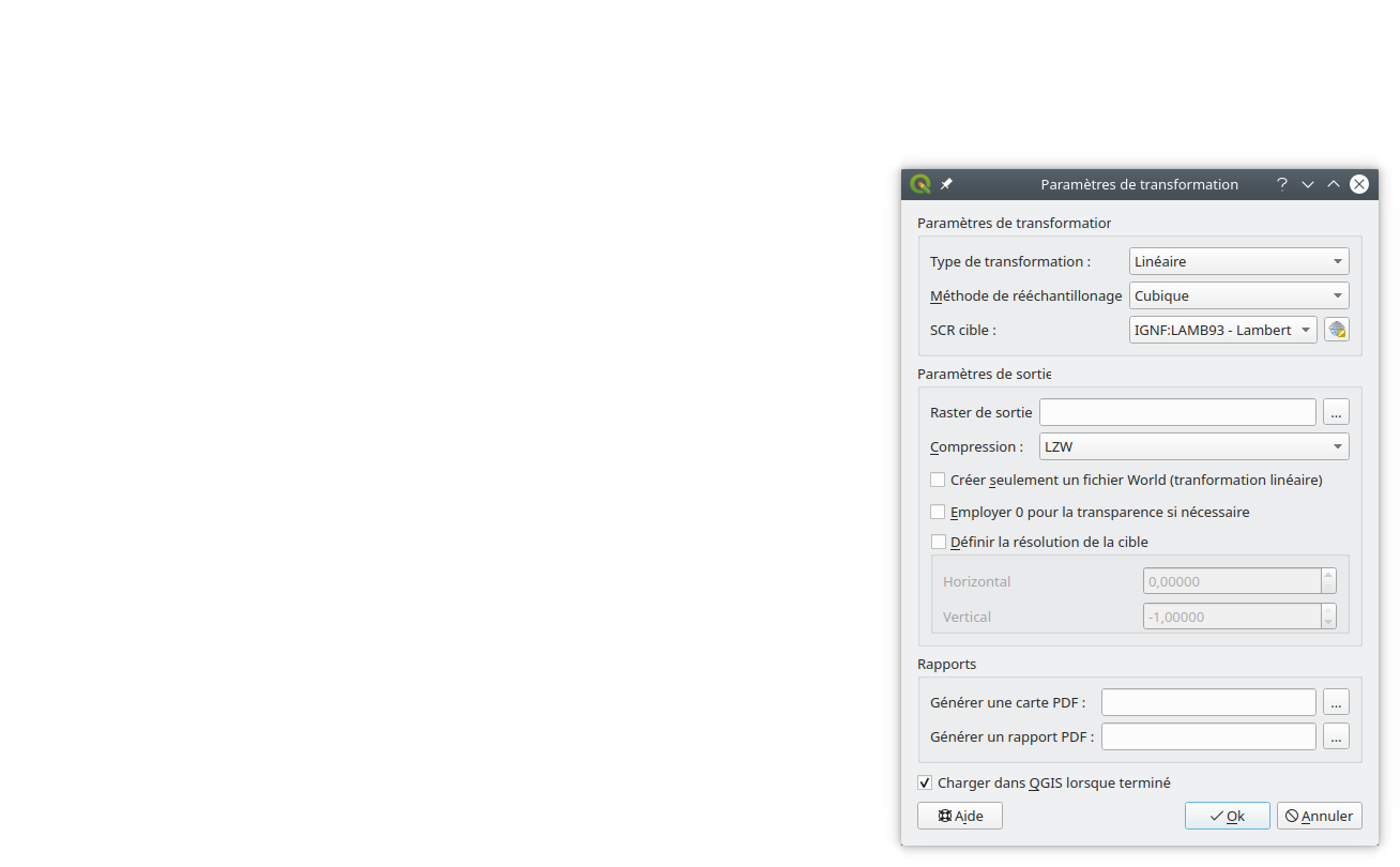
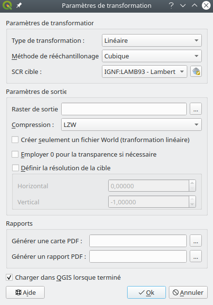
enter image description here QGis Georeferencer, Transformation Window Plugin Window QGis Georeferencer, Transformation Window Plugin Window

Georeferencing scanned map with known LCC projection and lat/long grid using QGIS?

I looking for advice to georeference scanned maps for which I know the projection.

In my test case projection is: lcc: Lambert Conformal Conic - 93 / IGNF:LAMB93).

Grids with latitude and longitude are available and I have marked some place with GPS coordinates.

I have started to georeference the raster with QGIS Plugin using some known points with lat/long coordinates on the map (as explained here: Georeferencing Topo Sheets and Scanned Map and here: 15.2. Lesson: Georeferencing a Map )

My concern is that when importing the map in QGIS and superposing on other map, I have an small offset.

LAMB93 requires coordinates in meters.

I assume that by giving coordinates in degrees, QGIS imports the whole map as "a WGS84 raster". I did not find a way to specify target SRC with a lcc projection.

My aim is to find a method to import the scanned maps within the original projection (SCR) and correlating the control points with as they have been done

NB: I managed to reduced the offset by using transformation distorsion of the imported map and multiplying the correlation points, but I am not satisfied with the result and extra work required.

I assume is that because the

I assume that is becau, the correlation is done assuming a map in

However when I import the map,

(QGIS 3.4)

Georeferencing Plugin Windows

enter image description here

QGIS: Georeferencing a scanned map with known LCC projection and lat/long grid

I looking for advice or recommanded methods to georeference scanned maps for which I know the projection and some coordinates with lat/long dat in degrees

In my test case, projection is:

lcc: Lambert Conformal Conic  - 93 / IGNF:LAMB93)

LAMB93 requires coordinates in meters.

The map contains several cross-hairs marking and I have marked some places with GPS coordinates.

I have started to georeference the raster(scanned map) with QGIS Plugin using these known points with lat/long coordinates in degrees on the map. I used the tutorials here: Georeferencing Topo Sheets and Scanned Map and here: 15.2. Lesson: Georeferencing a Map )

My concern is that when importing the map in QGIS and superposing on other maps, I have an offset (and/or due to a slight rotation).

I assume that by giving coordinates in degrees, QGIS imports the whole map as "a WGS84 raster". I did not find a way to specify target SRC with a lcc projection.

I tried to used RGF93 (EPSG 4171), but it ended also with an offset.

My aim is to find a method to import the scanned maps within the original projection (SCR) and correlating the control points with as they have been done

NB: I managed to reduced the offset by using transformation distortion of the imported map and multiplying the correlation points, but I am not satisfied with the result and extra work required.

Notes:

QGIS version 3.4 used

-LAMB93 proj file:

Proj4: +proj=lcc +nadgrids=@null +a=6378137.0000 +rf=298.2572221010000 +lat_0=46.500000000 +lon_0=3.000000000 +lat_1=44.000000000 +lat_2=49.000000000 +x_0=700000.000 +y_0=6600000.000 +units=m +no_defs

-RFG93 proj file:

Proj4: +proj=longlat +ellps=GRS80 +towgs84=0,0,0,0,0,0,0 +no_defs
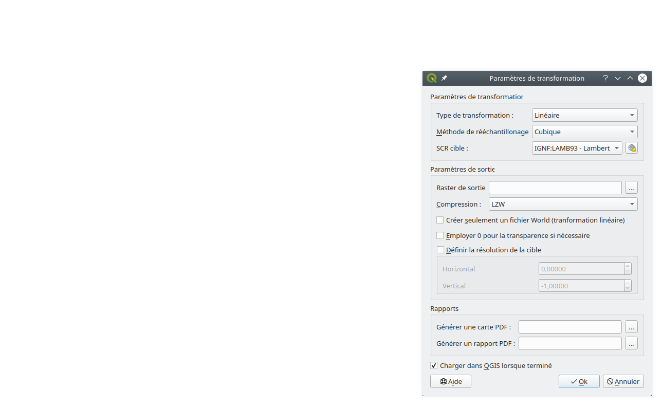
QGis Georeferencer, Transformation Window Plugin Window QGis Georeferencer, Transformation Window Plugin Window

edited title
Link
PolyGeo
  • 65.4k
  • 29
  • 114
  • 345

QGIS: Recommanded method for Georeferencing a scanned map with known LCC projection and lat/long grid using QGIS?

Source Link
kFly
  • 869
  • 1
  • 12
  • 27

QGIS: Recommanded method for Georeferencing a scanned map with known LCC projection and lat/long grid

I looking for advice to georeference scanned maps for which I know the projection.

In my test case projection is: lcc: Lambert Conformal Conic - 93 / IGNF:LAMB93).

Grids with latitude and longitude are available and I have marked some place with GPS coordinates.

I have started to georeference the raster with QGIS Plugin using some known points with lat/long coordinates on the map (as explained here: Georeferencing Topo Sheets and Scanned Map and here: 15.2. Lesson: Georeferencing a Map )

My concern is that when importing the map in QGIS and superposing on other map, I have an small offset.

LAMB93 requires coordinates in meters.

I assume that by giving coordinates in degrees, QGIS imports the whole map as "a WGS84 raster". I did not find a way to specify target SRC with a lcc projection.

My aim is to find a method to import the scanned maps within the original projection (SCR) and correlating the control points with as they have been done

NB: I managed to reduced the offset by using transformation distorsion of the imported map and multiplying the correlation points, but I am not satisfied with the result and extra work required.

I assume is that because the

I assume that is becau, the correlation is done assuming a map in

However when I import the map,

(QGIS 3.4)

Georeferencing Plugin Windows

enter image description here