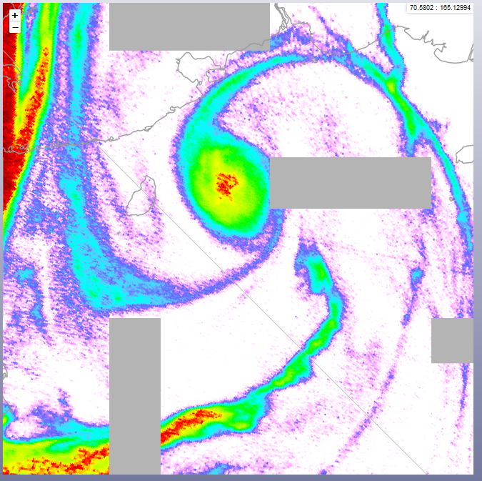
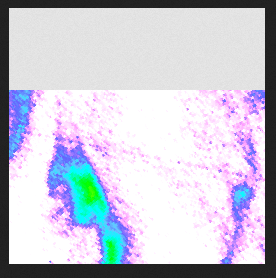
I have created a series of GeoTiff files containing global satellite raster data in EPSG 4326 format. I serve them in GeoServer (v2.15.2) and ask for the data through WMS requests from Leaflet maps in 3 different projections: EPSG 3857 (Web Mercator), EPSG 3413 (Arctic Polar Stereographic) and EPSG 3031 (Antarctic Polar Stereographic). The problem is that the Arctic map often shows artifacts in the form of rectangular areas of missing data (see image). This happens in particular when I zoom in. In the other 2 projections the data is fine. I also include an image of a single tile, showing a missing section. The missing section is always at the edge of a tile. never in the middle.
The closest hint to a solution I found here: Artifacts in NetCDFs served to Leaflet from Geoserver over WMS when zooming
But in my case it does not seem to be related to an x=0 phenomenon. Furthermore, that post never got a final solution.
Your thoughts are most welcome.
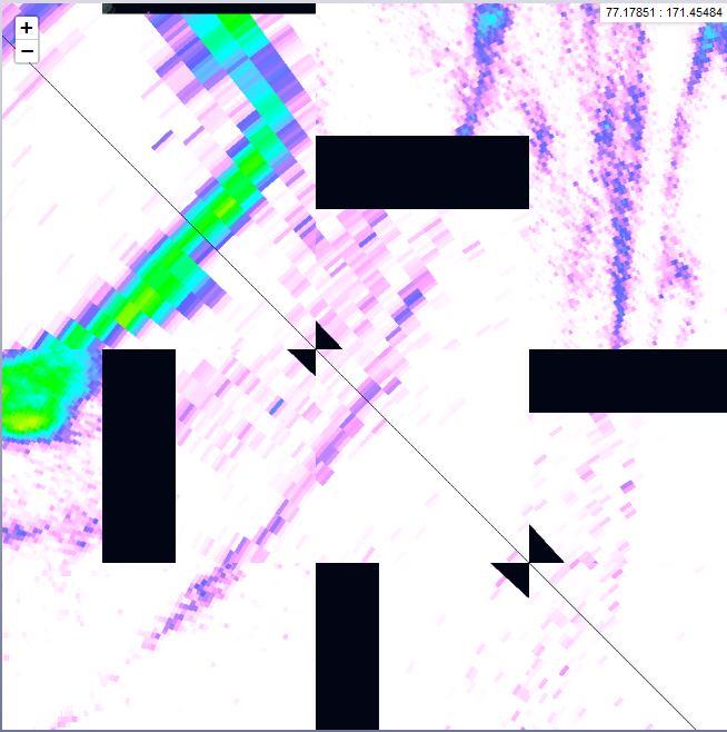
Update: Here is an image when unticking "Enabled advanced map projections" in the Geoserver WMS settings. It shows that the tiles with artefacts touch the antimeridian with one corner and even introduces additional, triangular artefacts.


