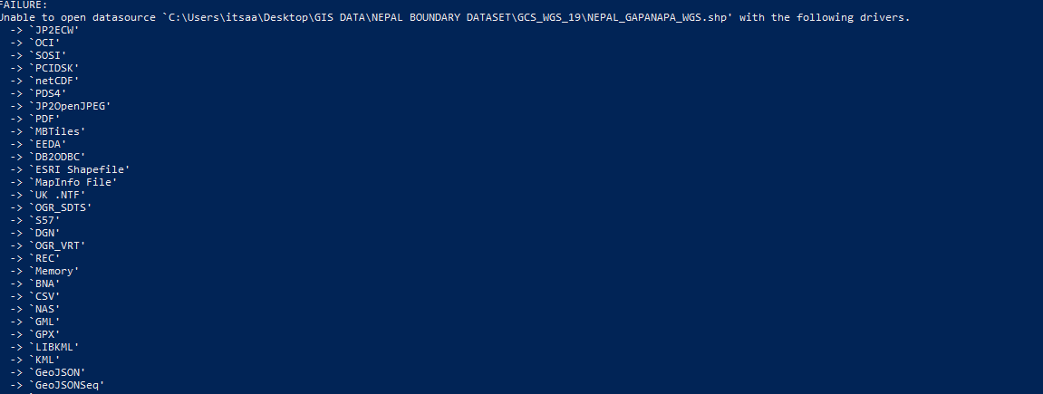
I am a starter to use command-line interface. I was looking for a way to import a shapefile into PostgreSQL using "ogr2ogr". I was able to do this for point shapefile using code :
ogr2ogr -f "POSTGRESQL" PG:"host=localhost user=postgres dbname=postgres password=12345" "C:\Users\itsaa\Desktop\GIS DATA\WGS\sett.shp"
ogr2ogr -f "POSTGRESQL" PG:"host=localhost user=postgres dbname=postgres password=12345" "C:\Users\itsaa\Desktop\GIS DATA\WGS\sett.shp"
But using the same code for Multipolygon feature gave me an error message

Can you help meHow can I get through itthis?
