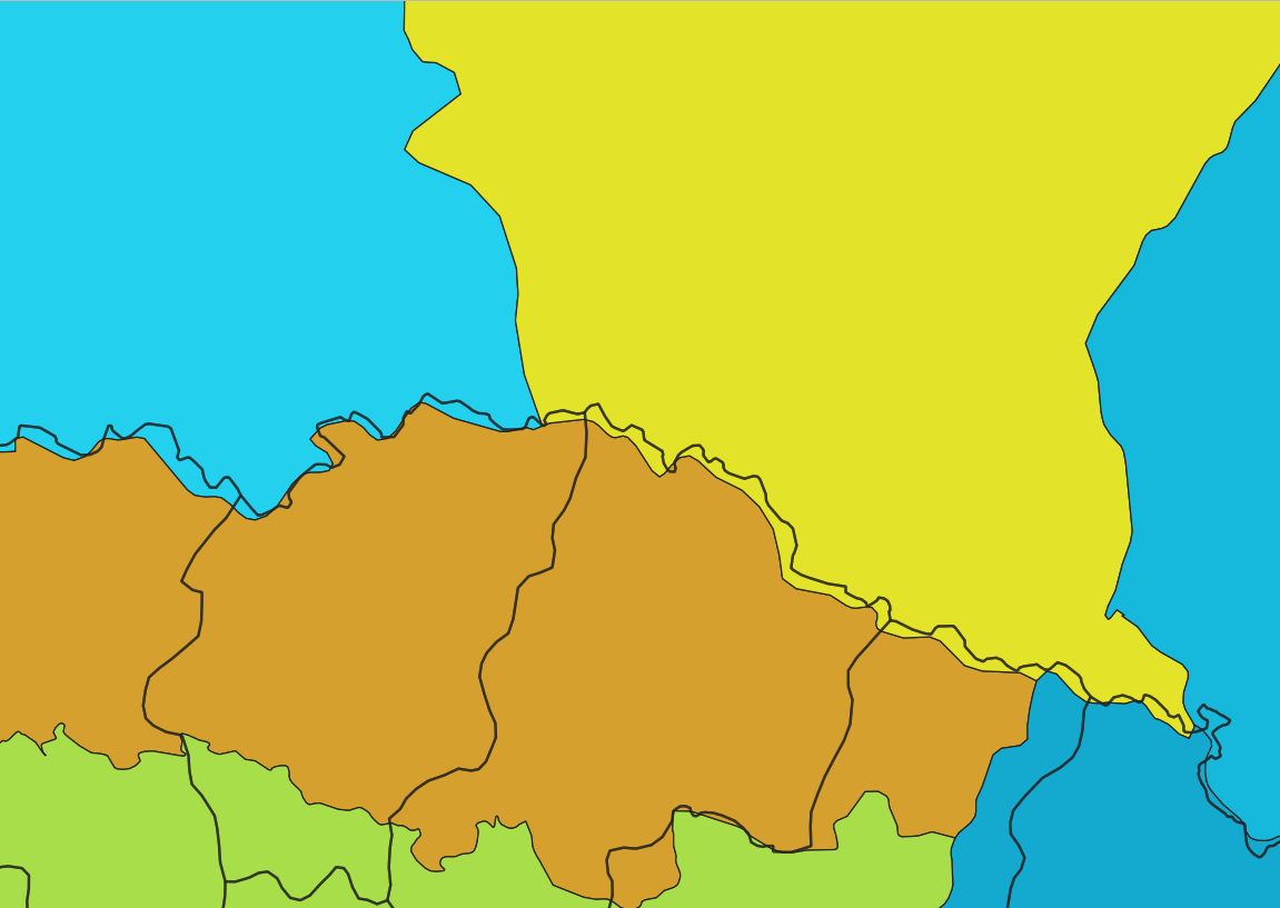
I have two polygon layers, one is from natural earth data (Administrative 1 division) and the other is a polygon layer with some historical regions in europeEurope. asAs you can see in the image attached there are some areas which still has the same boundary, but since these two layers come from different sources they don't match up, is there a way iI can match this automatically in QgisQGIS 3.10?
I tried the snap geometries to layer tool and it just didn't work. (either it caused qgisQGIS to crash, or the output was just the same as the input).

