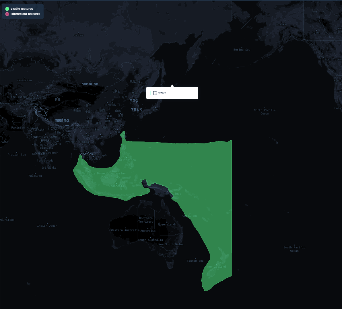
I am currently exporting a geojson data from qgis to mapbox studio. My area map covers and crosses the 180 degree line across the Pacific ocean. I tried exporting using CRS setting EPSG:4326 and EPSG:3832 (Pacific Disaster Center) to no luck as both settings cuts and only shows the first half of the area.
Is there a way that I can export the geojson without being cut off? Thanks!
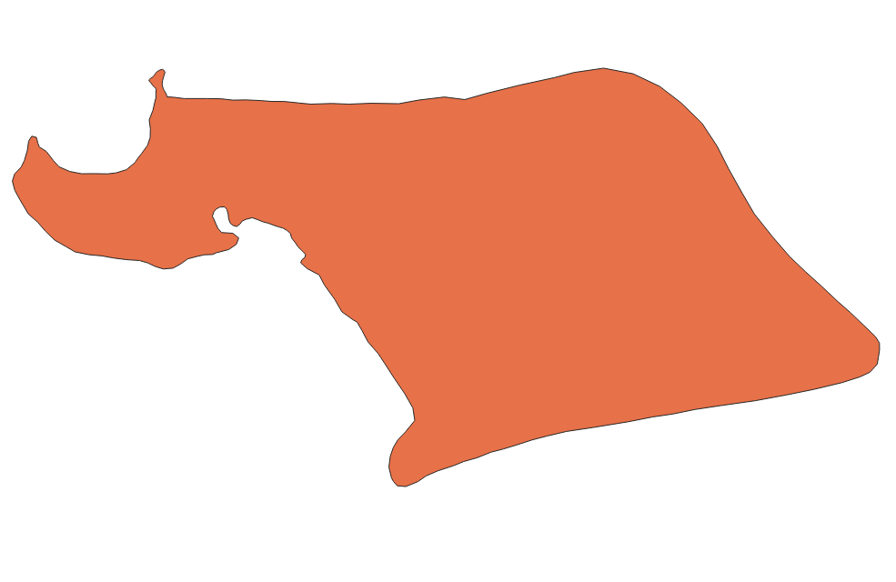
Area should be this:
-Joseph


