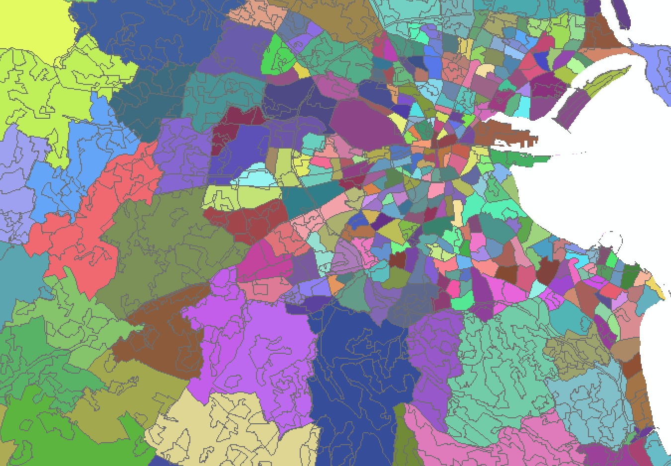
I have a shapefile consisting of Ireland District Electoral Areas (DEA), in which there are over 3000 polygons. Secondly, I have a shapefile consisting of the Land Use classifications in Ireland.
A DEA in the first shapefile can contain many classifications from the second shapefile.
So far, I have followed the steps in Computing dominant area in polygon using ArcGIS Desktop? which have given me what I need.
However, I am wondering is there anyway I can delete the classification polygon outlines within the DEA as seen in the screenshot below? As I only need to show the DEAs with these classifications

