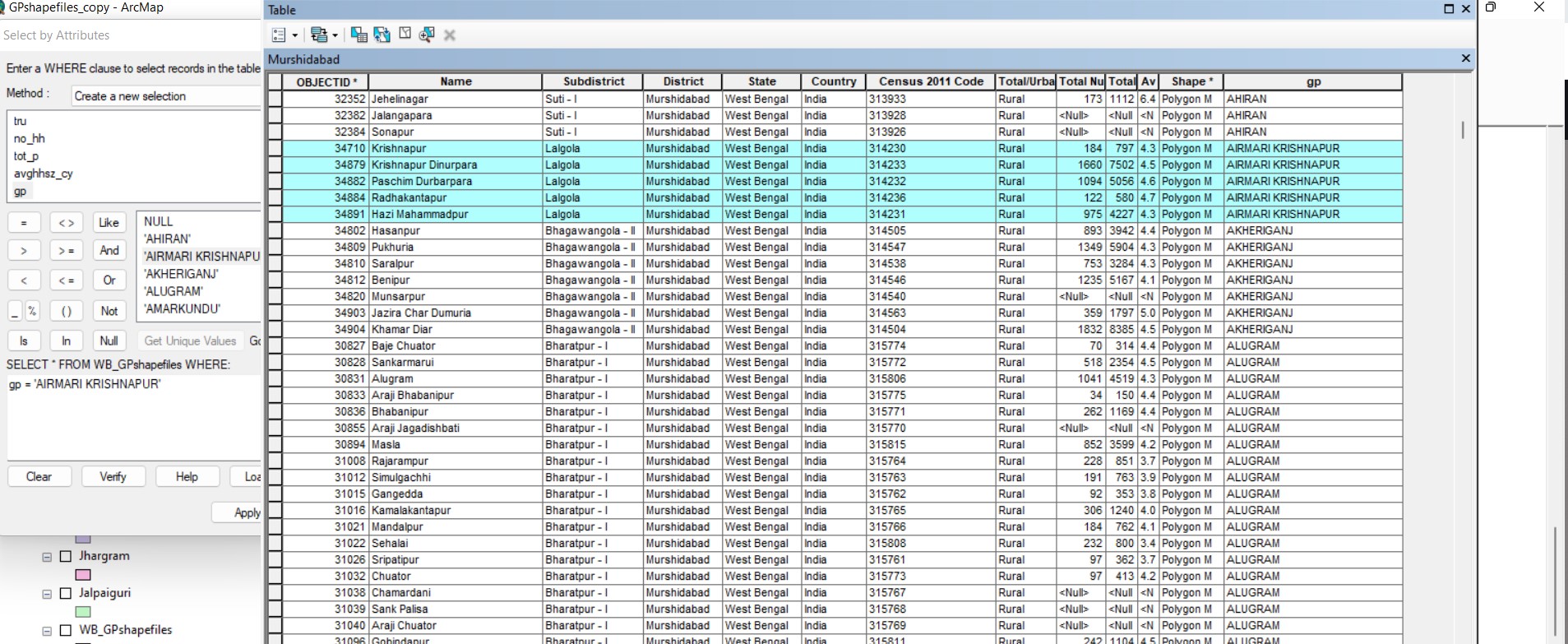
I had a village level shapefile. I selected villages using the "select by attribute" function to group them into electoral units (labelled as GP in attribute table)
I wanted to use the values in the gp column to make gp level shapefiles. I therefore used the "Split By Attribute" function to transform unique values in the GP column into shapefiles.
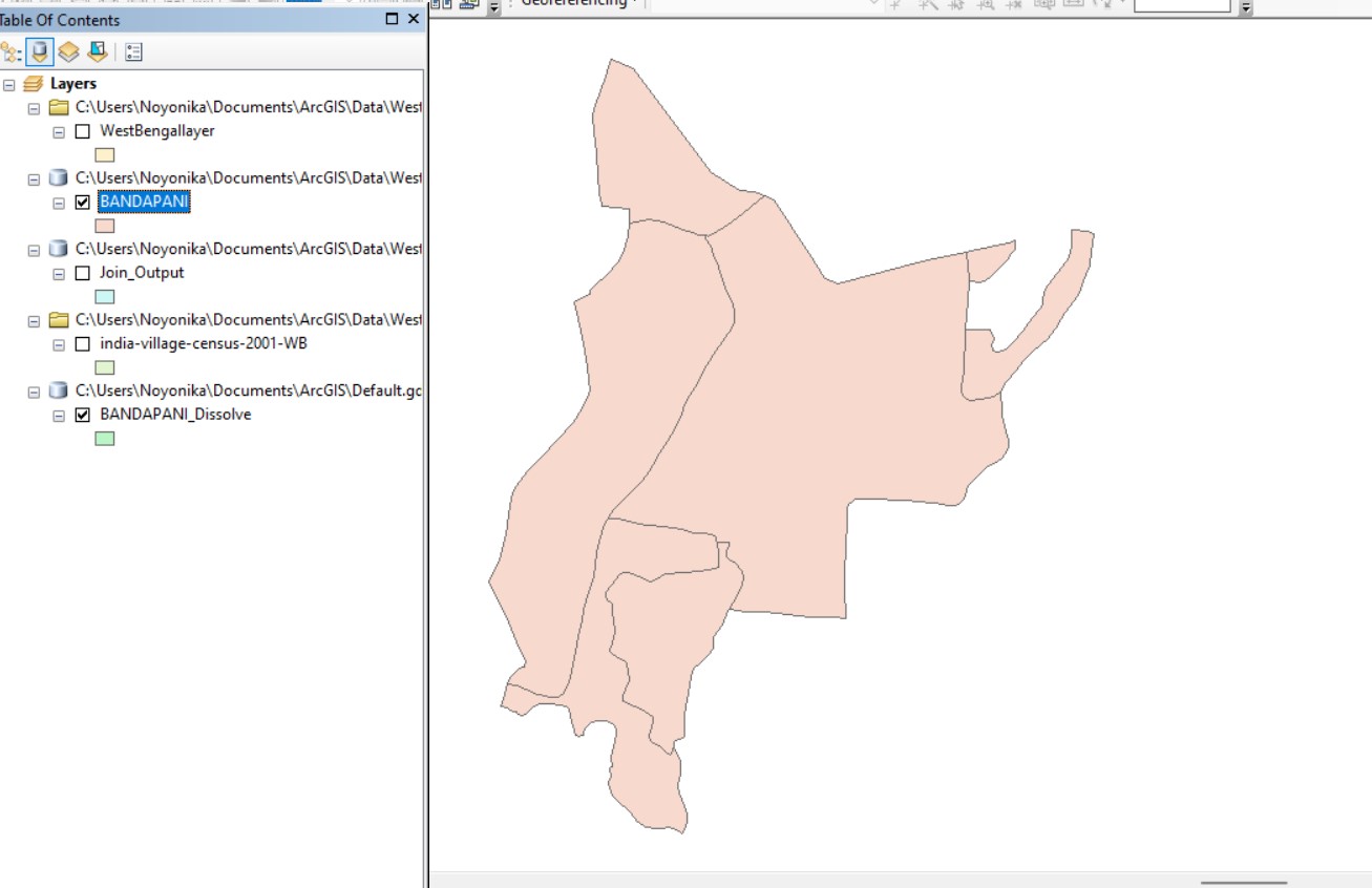
However, I can still see the boundaries of the individual villages and the attribute column still has village level information.
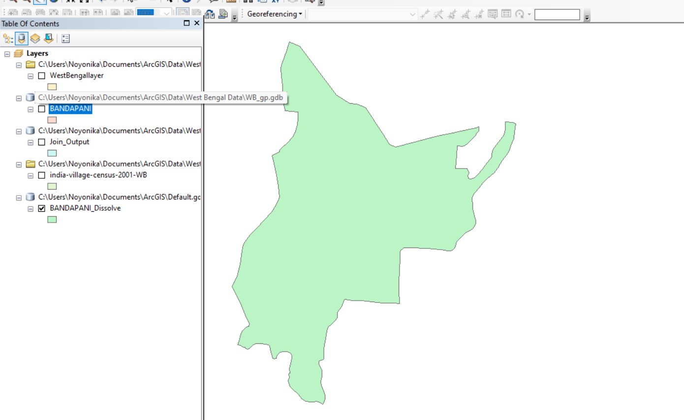
I used the dissolve function to remove the village level boundaries and I was able to get the average of other attributes as well, which is what I want.
Can this process be done to create multiple dissolved polygons at once without using Python (which I am unfamiliar with)?
I have a total of 4000 gps and it would take a long time if I manually had to dissolve the boundaries one at a time.
I am unfamiliar with Python. Is there a way to achieve this without using Python?


