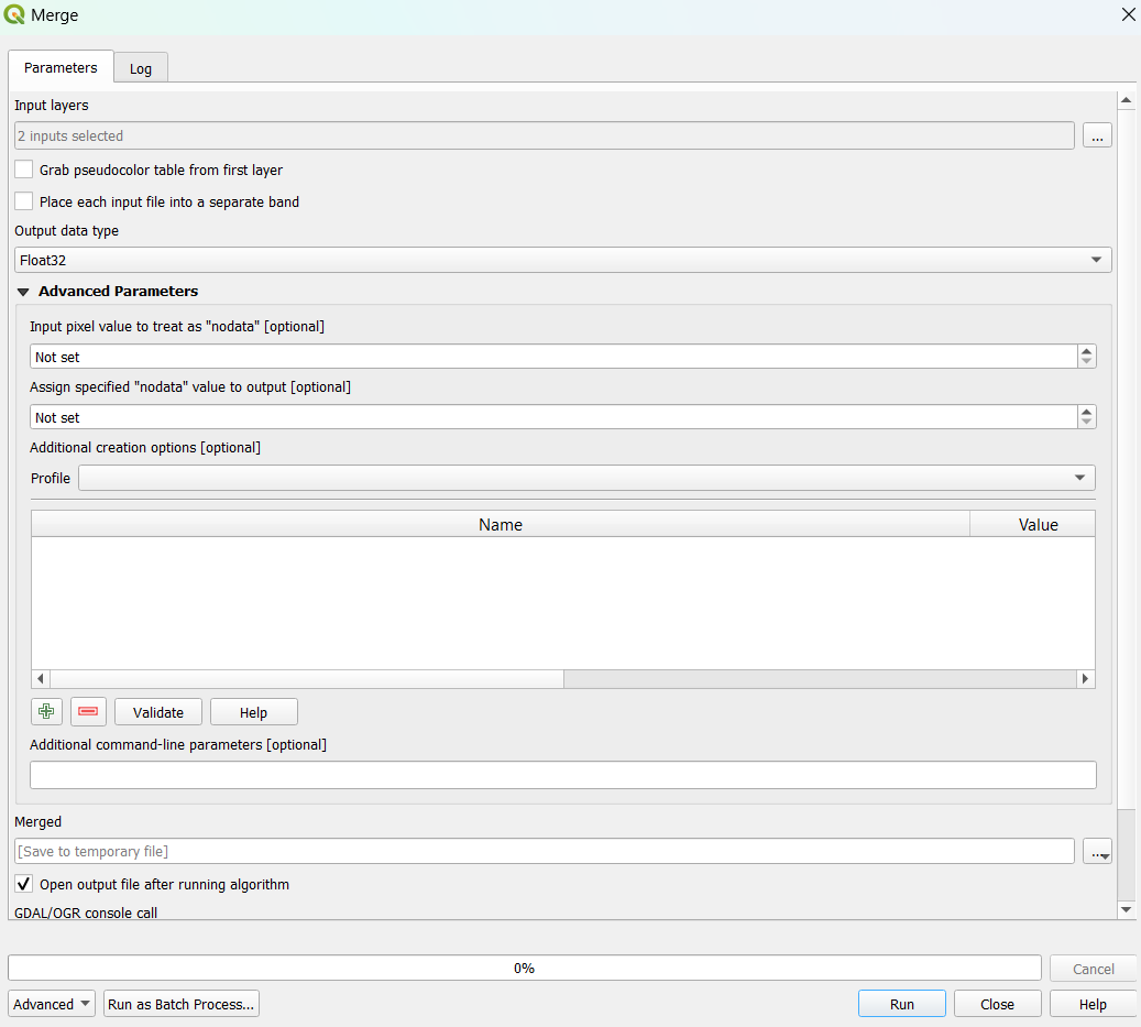
I have two raster files and I want to merge them in QGIS. The first raster has values between 0 to 8627 and the second one has 0 to 9118. However, when I do it with the Merge tool (in GDAL/raster miscellaneous) new raster's values are between 0 to 9,260. Somehow, it is rescaled or some raster values are combined. When I checked the map, only one raster is rescaled but the other one stayed as original.
Became Hot Network Question

