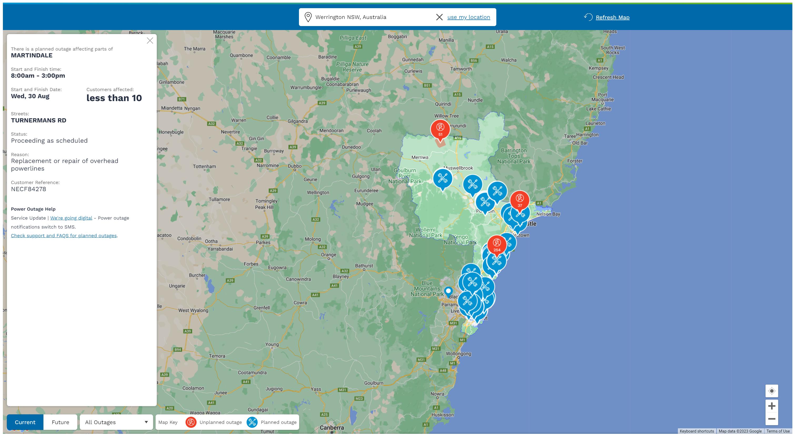
I'm trying to extract spatial information from this website: https://www.ausgrid.com.au/Outages/Current-Outages
Basically, they have a map showing all current outages and I want to get spatial data being shown in the map may it be JSON or geojsonGeoJSON or whatever format. Note that this is live data and I would like to extract the points/polygons on specific time intervals. Does anyone know how I can do this?

