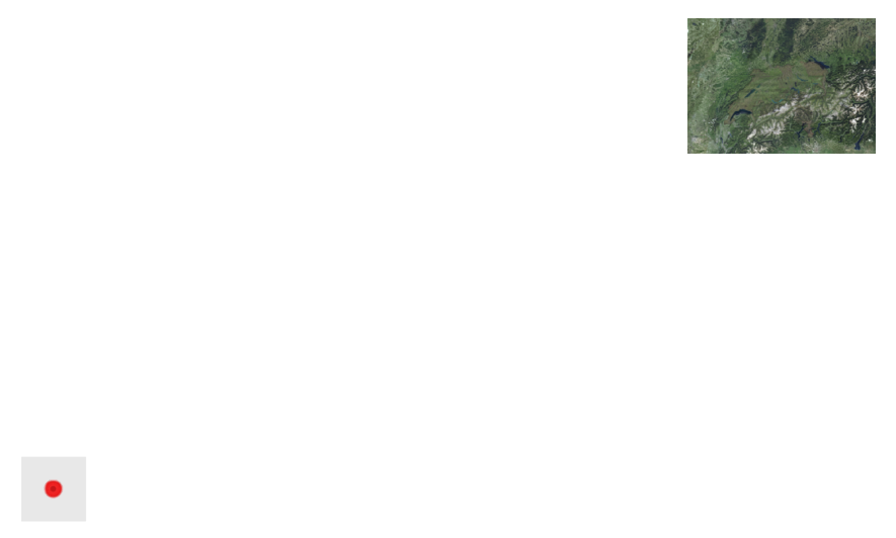
I got a vector data layer that I need to project onto a map. When I import the layer, everything seems to work, but the layer ends up in the wrong place:
The red dot in the bottom left corner is my vector layer. it should be projected onto the map in the top right corner.
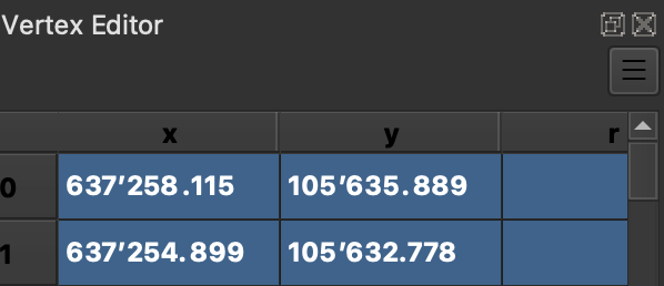
The CRS I'm using is CH1903+ / LV95 and the layer I'm importing has the same CRS. I figured out that the coordinates are almost right, apart from the fact that everything is shifted by 2'000'000 on the x and by 1'000'000 on the y axis-axis:
For example, the 2 points above should be:
x=2'637'258.155, y=1'105'635.889

x=2'637'254.899, y=1'105'632.778
x=2'637'258.155, y=1'105'635.889

x=2'637'254.899, y=1'105'632.778
I figured out how to adjust the points manually with the Vertex editor. However, I have hundreds of points in this layer with that problem, so adjusting everything manually is not really a feasible way of solving my problem. Is there any way to adjust the coordinates of the whole layer?
The only other way I can think of is to drag the layer onto the map manually, but I don't know if I can manually drag the layer preciseprecisely enough for what I need it to be...


