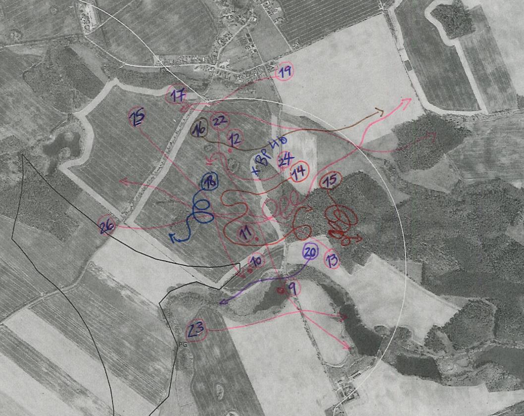
Our company does a lot of bird surveys, we often need to draw flight patterns on a paper maps and convert these lines into shapefiles to create digital maps (e.g. of migration routes) for our reports. At the moment we do all the field work by hand and have someone digitize this information into QGIS.
Until now we have experimented with the Mergin Maps application for QGIS, with which we can create lines in the app using interconnected points, however it is not efficient enough for our work. Often we have to record 100s of individuals within 1-2 minutes and don't have time to set a large number of vertices for each line. What we need is to be able to draw lines on a tablet (ideally with ID numbers) and be able to georeference those lines automatically (without having to re-create each segment in QGIS). Does anyone have a reccomendation?

