Since layer you are trying to show is not a tile layer but WMS layer, you have to use L.tileLayer.wms layer to show it. Since it has a lot of layers that are shown at different zooms, one possible strategy is to request all the layers.
This code:
var tileLayer = L.tileLayer('https://gisco-services.ec.europa.eu/maps/tiles/OSMPositronComposite/EPSG3857/{z}/{x}/{y}.png');

var wmsLayer = L.tileLayer.wms("https://image.discomap.eea.europa.eu/arcgis/services/EUHydro/EUHydro_RiverNetworkDatabase/MapServer/WMSServer", {
    version: '1.3.0',
    layers: '1'0,1,2,3,4,5,6,7,8,9,10,11,12,13,14,15,16,17,18,19,20',
    format: 'image/png',
    transparent: true
});

var map = L.map('map', {
  center: [41, 14],
  zoom: 4,
  layers: [tileLayer, wmsLayer]
});
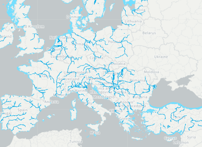
gives the follwing map at zoom 4:
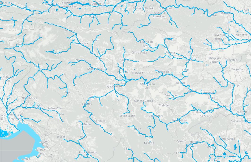
and this map at zoom 9:


