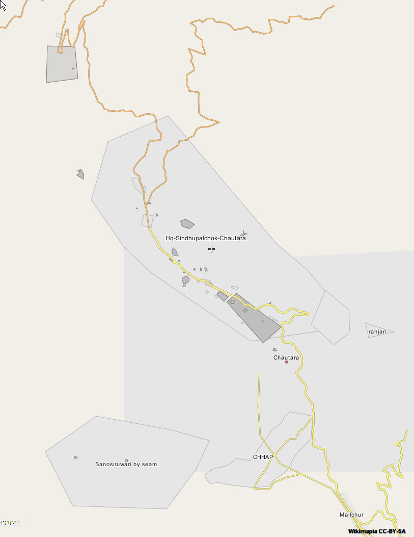
Wikimapia is worth checking within developing countries if you have a particular site.
It is a community mapping project that focuses on creating a geographically-referenced wiki system.
- It shows what is actually on the ground and gives local names. This is a good starting point for improving understanding of aerial imagery.
- Sites are often included in Wikimapia that are ignored by traditional topographic mapping. This location in Libya is a good example that includes military assets.
- The quality, coverage, and currency are extremely variable so the data should be treated with caution.
- The only way to export data is using an API.

