For advanced geoprocessing tasks across several layers, it is always best to turn On-the-fly reprojection off. Then you see if the layers align or not.
Perform reprojection using Save As... on all layers that have a different projection, add the result to the canvas, and remove the old layers from canvas. Otherwise you might still catch the wrong layer, and clipping will result in nothing.
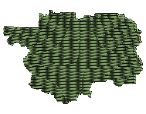
Your point data is rather big, but succeeded at last:

