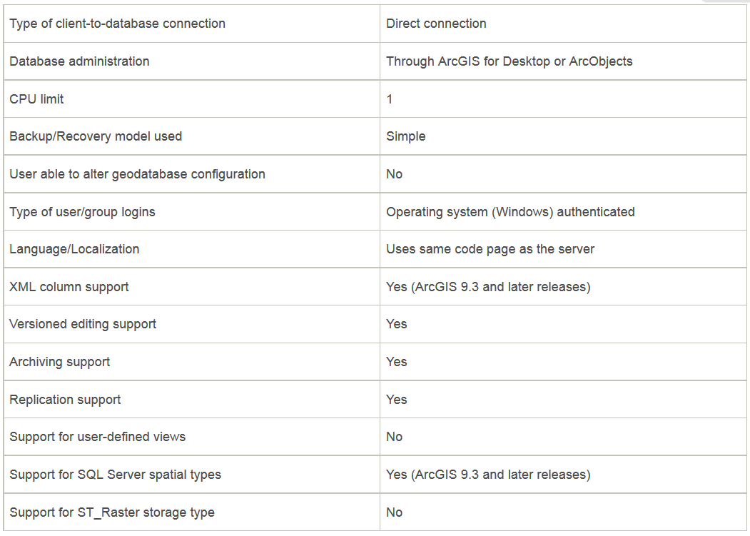
No, you do not need ArcGIS Server to edit your MS SQL Server database. If you want to continue to interface with ArcMap/ArcCatalog without a ArcGIS Server license you do have at least one other (albeit non-free, but definitely cheaper than an ArcGIS Server License) option.
I need to be able to connect to the ms sql server and import, export, create, and edit spatial data... Are there alternatives to achieve what I need to using what I currently have licenses for?
You can load data into SQL Server 2008 using SQL Server Spatial Tools. For exporting, creating and editing spatial data using your current license level you should have a look at GISquirrel.
From the website:
GISquirrel is an extension to ESRI's ArcGIS Geographical Information
System that turns into an editing client for Microsoft SQL Server or
PostGreSQL/PostGIS without the need for additional middleware or
higher licence levels. GISquirrel provides new ways of integrating
spatial data with wider information management systems.
A quick browsing of the FAQ says you can use it to both load and export data. The obvious limitations of the program that are stated on the website are as follows:
- Does not support raster data
- Does not support vector data with M or Z values
A license currently costs £150.00 (about US $245). If you are a nonprofit you may be eligible for a free license.
Where does arcSDE fit into this?
ArcSDE acts as an interpreter/organizer of the spatial data stored in SQL Server. It provides a bridge for your data to interface with ESRI's products. The program above acts as an "ArcSDE Lite" in a way with very basic functionality.
As a final note: If you aren't married to the ESRI platform you can also edit MSSQL data through QGIS.

