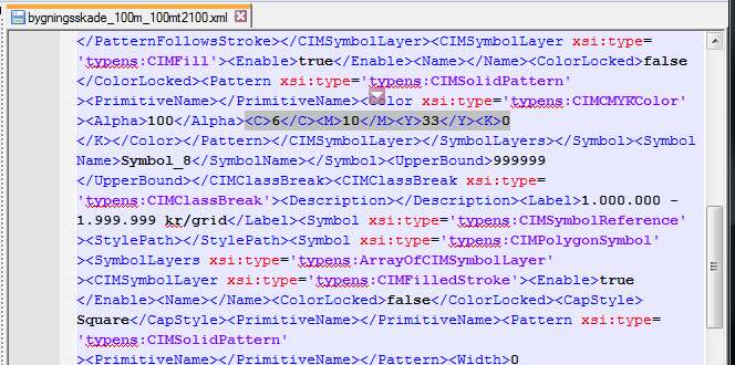
My university wants the maps we create to become more standardized and so we're changing all the colors on our base vector map.
The new standard needs to be indexed and I have the task of creating the spreadsheet/document that will help us in the future.
There are close to 100 layers that I need to index with, for example, the polygon layer name, fill color (rgb values), border color, and border width.
I have only recently started learning ArcPy so I was hoping there would be a GUI method I could follow and if not, what I should be looking for in an ArcPy script.
How does one extract this information?

