1

I have two different raster data :

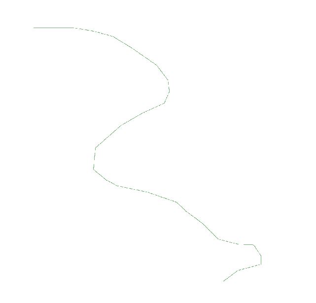
  • First data : enter image description here

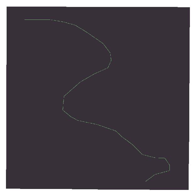
  • Second data enter image description here

How to combine those raster data? so the output data will be like this :

enter image description here

Where the overlap space between First data and second data (the green one) will contains the value of second data and the other will be refer to first data. So there will be two value in one raster data. A solution by using ArcGIS will be more preferable.

3
  • 1
    Do you have access to spatial analyst license? If not this will have to be done with GDAL, QGIS or other package. All the good raster manipulation in ArcGis requires the spatial analyst license. Commented Aug 27, 2015 at 21:53
  • Thanks for the comment radouxju, MappaGnosis but i still can't figure out how to use raster calculator for this condition. If you could to explain more clearly will be very thanks full. Commented Aug 28, 2015 at 14:54
  • Thanks for the comment @Michael Miles-Stimson assumed that i'm using python with GDALlibrary, or QGIS.. How to solve it? Commented Aug 28, 2015 at 15:00

0

Browse other questions tagged or ask your own question.