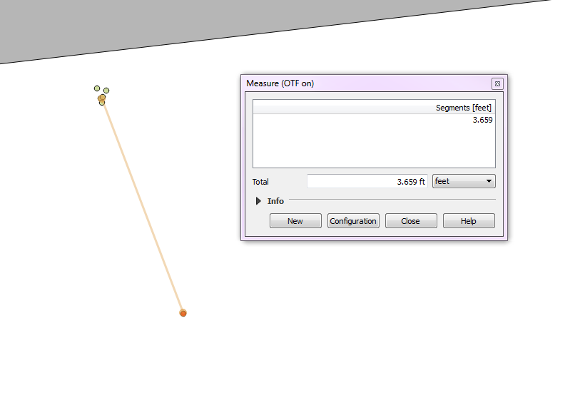
As long as everything is configured correctly on your GPS receiver, and it was clear skies, and there weren't any buildings obstructing your receiver, then I would say that the points you collected from your receiver are most likely in the correct spot. I am curious where you got this benchmark location from. Is it something you collected earlier? Is it data from some government agency? Is this benchmark data rounded at all? Is there a margin of accuracy for the benchmark data?
If the benchmark data is definitely correct, then I would ask when was it collected? If it was prior to about 2010, then maybe you do need to do an epoch transformation on your benchmark location to correct it to current GPS readings. Epoch transformations are a lot more complicated than a regular CRS transformation and is something I admit to know nothing about. Very few people really need to be concerned about it because the shifts are so small (usually less than a meter and only for really old data). Below is my best explanation as to why it is necessary.
When you collect in WGS84 it is the CRS defined by http://epsg.io/4326, and that never changes. This CRS is practically identical to NAD83 http://epsg.io/4269. If you do a transformation between 4326 and 4269 or any projections based on 4326 or 4269 (The StatePlane mentioned in your question is based on NAD83 or 4269) you will see no difference in your coordinates.
Where there is a difference is when you start talking about realizations of WGS84 or NAD83 which you can think of like snapshots. The realizations of WGS84 are defined by names like G730 or G1762 which stands for GPS and the number is the week number after GPS went into service, so G1762 is a snapshot to define transformations for GPS data collected around 1762 weeks after GPS went into service, so G1762 has transformations that apply to GPS data collected around 2005.
The reason they take these snapshots is because WGS84 is a theoretical datum defined around the earth based on center of mass (that's what defines the orbit of the GPS satellite array), but stuff on earth is slowly shifting around on tectonic plates. They take snapshots and define transformations so you can take GPS data recorded around those epochs and correct them to current WGS84/NAD83 readings. NAD83 realizations can be more useful for data collected in the US because it is corrected for movement of the tectonic plates affecting North America using CORS whereas the WGS84 realizations are corrected to points in space where the GPS satellite array is located relative to Earth.
Sorry for the really long post, but the main point is that you are most likely chasing your tail if you think the difference is because of WGS84 vs NAD83. I would focus more on conditions and configuration of the GPS receiver and details on the benchmark GPS data.

