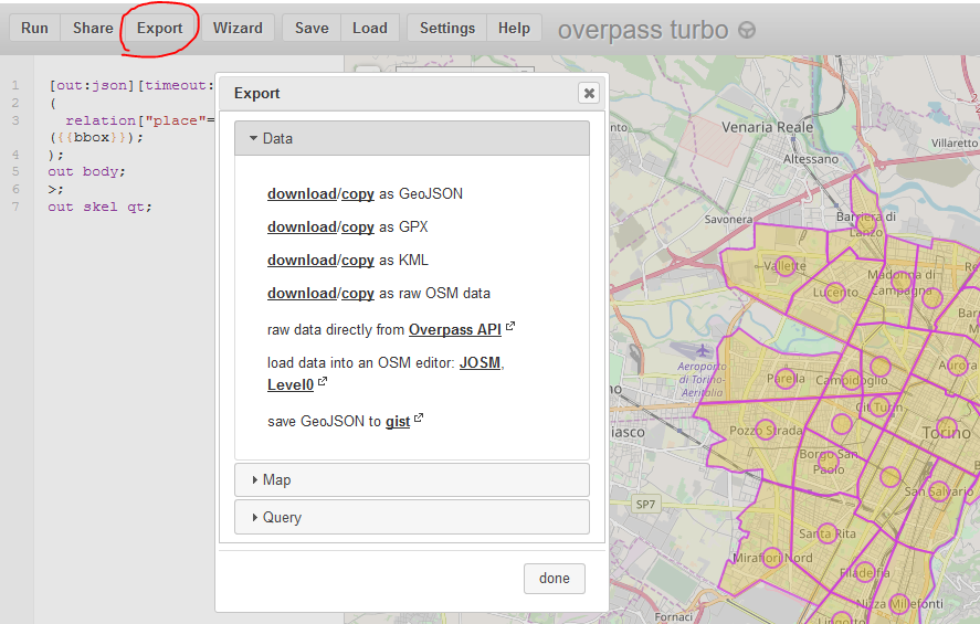
I never downloaded shapefiles from OpenStreetMap before and now I am trying to download a shapefile of the city of Turin (Italy) with the suburbs polygons encoded in it. I know for sure that the information about suburbs is there in OSM (check here), but I could not manage in any way, using any tool, to download something different from the circoscrizioni areas, which are bigger. If I download the Turin shapefiles from, for example, websites like bbbike I get the usual shapefiles (buldings/landuse/natural/points etc.) but the suburbs are nowhere to be found.
Any suggestions?

