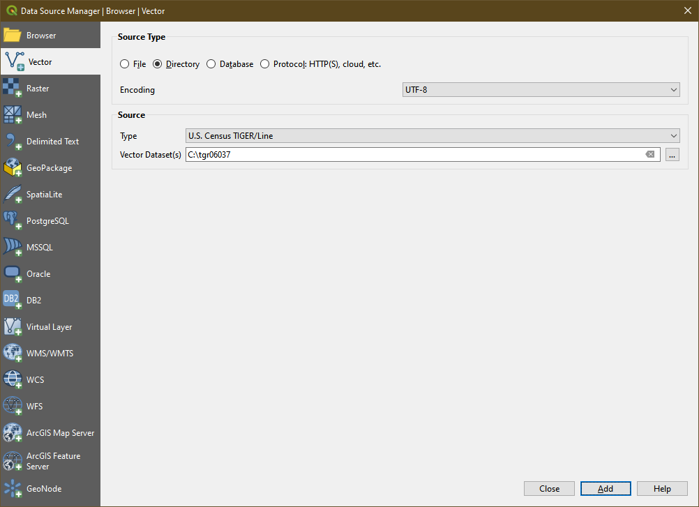
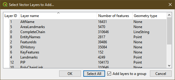
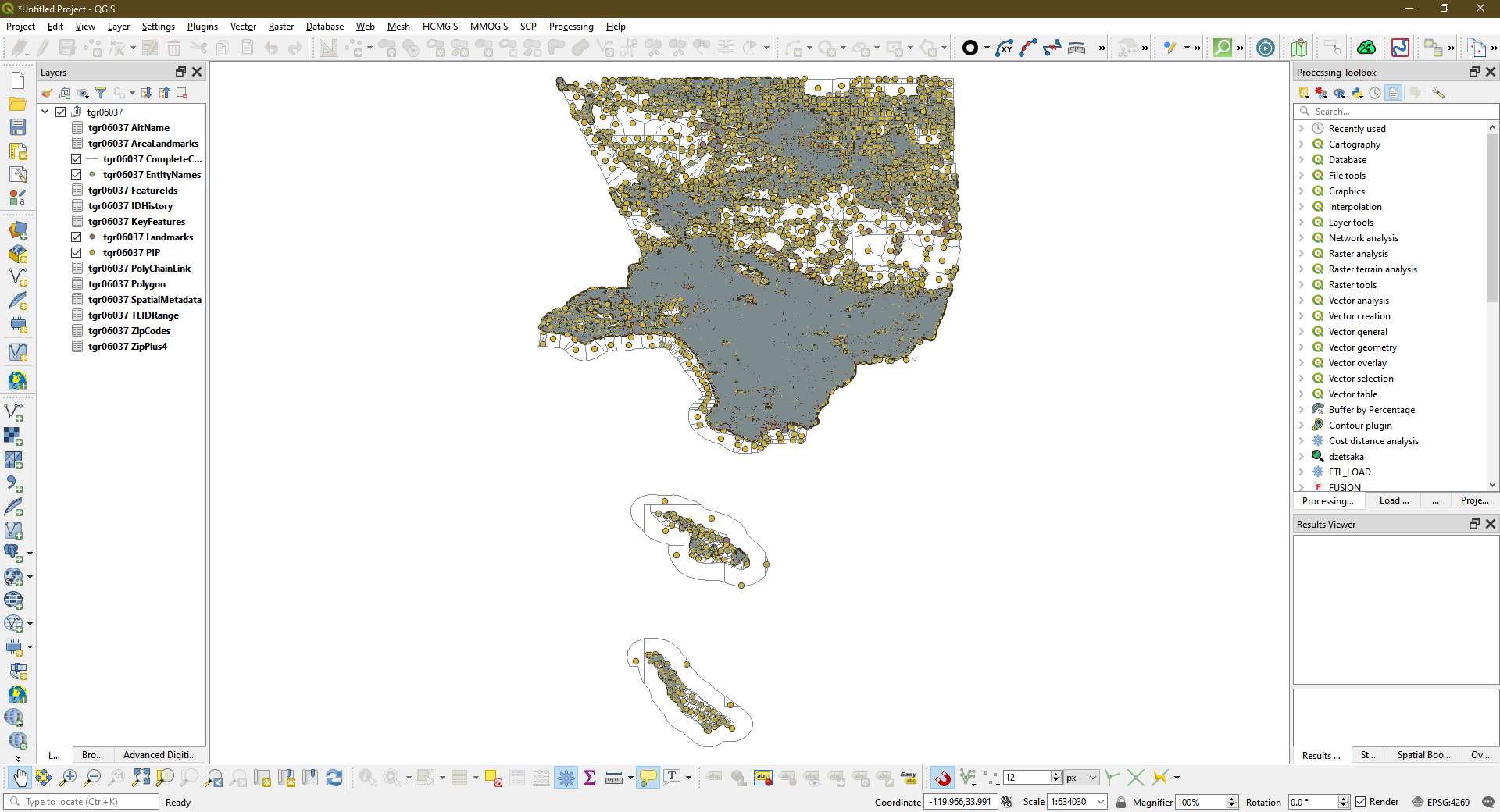
Does anyone know how to extract a roads shapefile for the US Census circa 2000?
The only file I can find from US Census (e.g. https://www2.census.gov/geo/tiger/tgrcd108/CA/tgr06037.zip for Los Angeles) is in RT format.
My questions are:
- Does the RT files contain the county-based "roads" layer (all roads, described here pp3.)?
- If so, which RT file is it and how to extract the roads?
Related:
https://gis.stackexchange.com/questions/21573
Also, GDAL seems to have a driver:
https://www.gdal.org/drv_tiger.html
But I can't find example code in Python or anything for using the driver to extract roads.


Python examples for 20-year old formats are a bit of a challenge.- shapefiles are more than 20 years old too.. Plus, the solution I am looking for is not limited to python. R, PostGIS and others are perfectly fine as long as they can get the job done. After all, this is TIGER/line we are talking about. I think there should be a well-known method to convert it to the current GIS format if not by US Census.