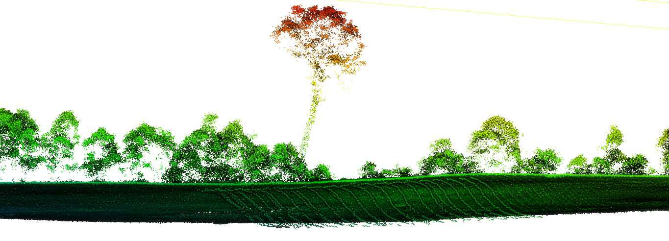
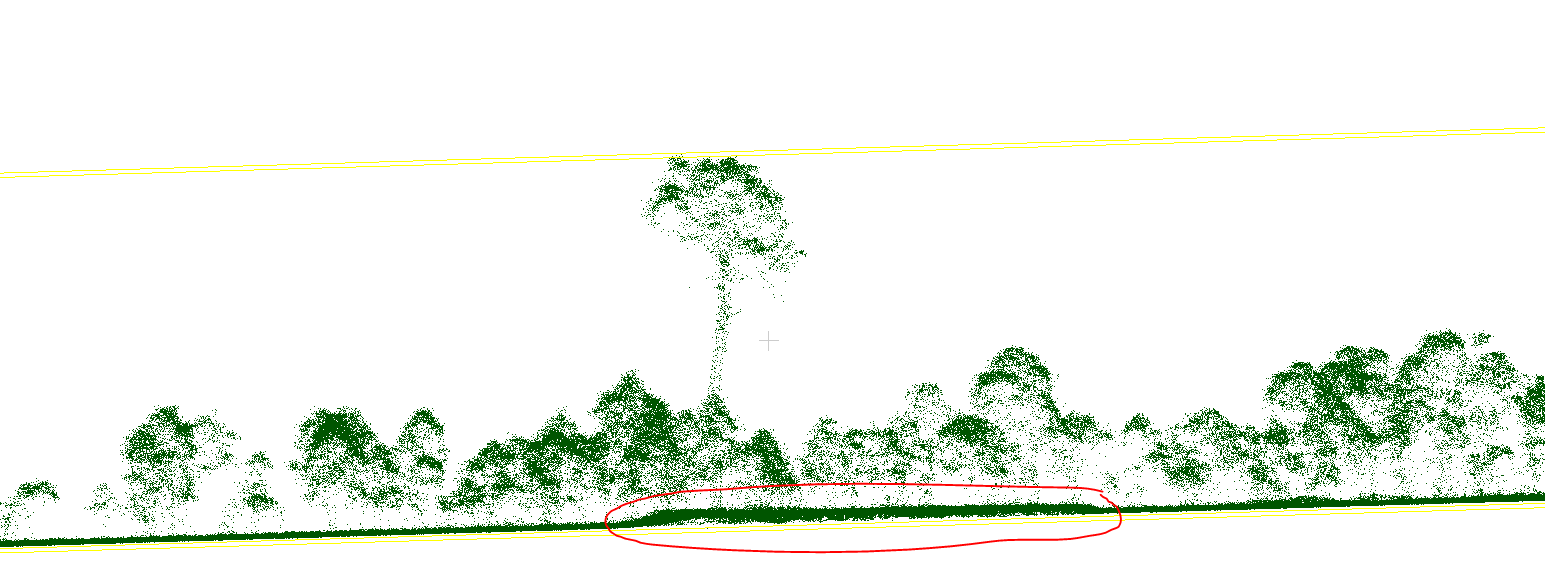
I have a multiple return UAV LiDAR point cloud and it has false strip lines 0.5-1 m below ground. I think two different flight lines are not overlapping perfectly causing these strip lines, but not sure. Strip lines consist of many points, therefore I was unable to remove with lasnoise.

And lasground ground classification algorithms are picking up these noise points as ground points, as a result, correct ground points classified as non-ground points. During normalization of point cloud, height of correct ground points are calculated based on the falsely calculated ground points and shifting upwards which is causing me a problem.
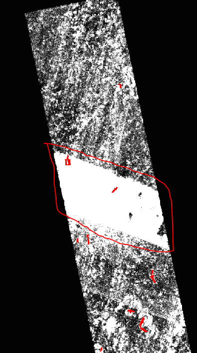
And I created raster image from points below 1.3 m to show the problem clearly:
I have 100 1 ha plots and most of these plots have this issue. My question is how to get rid of these below ground strip lines?


