0

I am using GeoServer and OpenLayers 6, and I am trying to use a certain symbology which i defined in GeoServer using SLD. It works well when I use WMS service, but I couldn't find a way to make it works with WFS service.

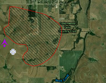
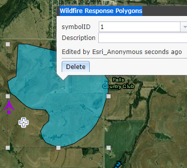
I found that in ArcGIS server you can apply a symoboly to a Feature Layer, and make edits on it like in this demo:

enter image description here

enter image description here

Is there a way to do this using GeoServer and OpenLayers?

2 Answers 2

1

WFS sends the raw data to your client, which is responsible for the styling, so this is entirely expected behaviour.

4
  • thank you for your response Ian Turton, i edited my question to express what i really want to do Commented Aug 22, 2021 at 13:59
  • You can do this in open layers too, look at other questions on this site
    – Ian Turton
    Commented Aug 22, 2021 at 16:39
  • The problem is that openlayers is very limited in styling. is there any JS library can help doing this ? Commented Aug 23, 2021 at 7:54
  • There are some third party utilities which can convert between SLD and OpenLayers styles github.com/geostyler/geostyler github.com/nieuwlandgeo/sldreader
    – Mike
    Commented Aug 23, 2021 at 8:11
1

WFS has no support for providing client-side styling information. The OGC API - Features can have those links, especially when coupled with an https://github.com/opengeospatial/ogcapi-styles service. The styling part is still in draft stage though.

Your Answer

By clicking “Post Your Answer”, you agree to our terms of service and acknowledge you have read our privacy policy.

Not the answer you're looking for? Browse other questions tagged or ask your own question.