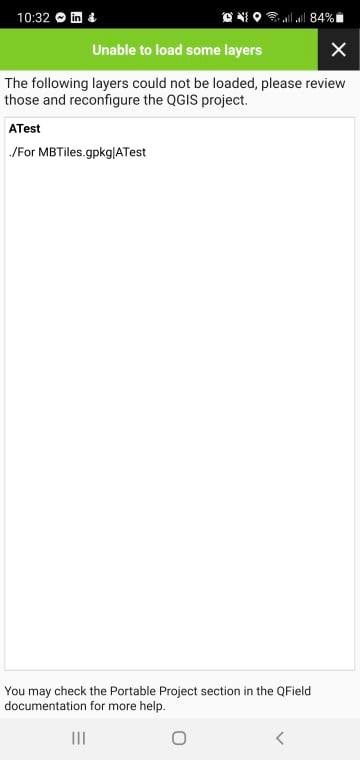
I tried converting my TIFF images to a geopackage (to decrease the file size) since I would be loading my project file to QField. However, upon packaging and opening my QField geopackaged project file in my tablet, I kept on encountering this error (see attached image)
I also checked the layer satellite image gpkg layer and encountered the error:
This layer is invalid. This might be due to a network issue, a missing file or a misconfiguration of the project
Are there any possible solutions for this?

