1

I have 3 .tif files of a Natural Earth world map, each representing the bands of the source NE world map.

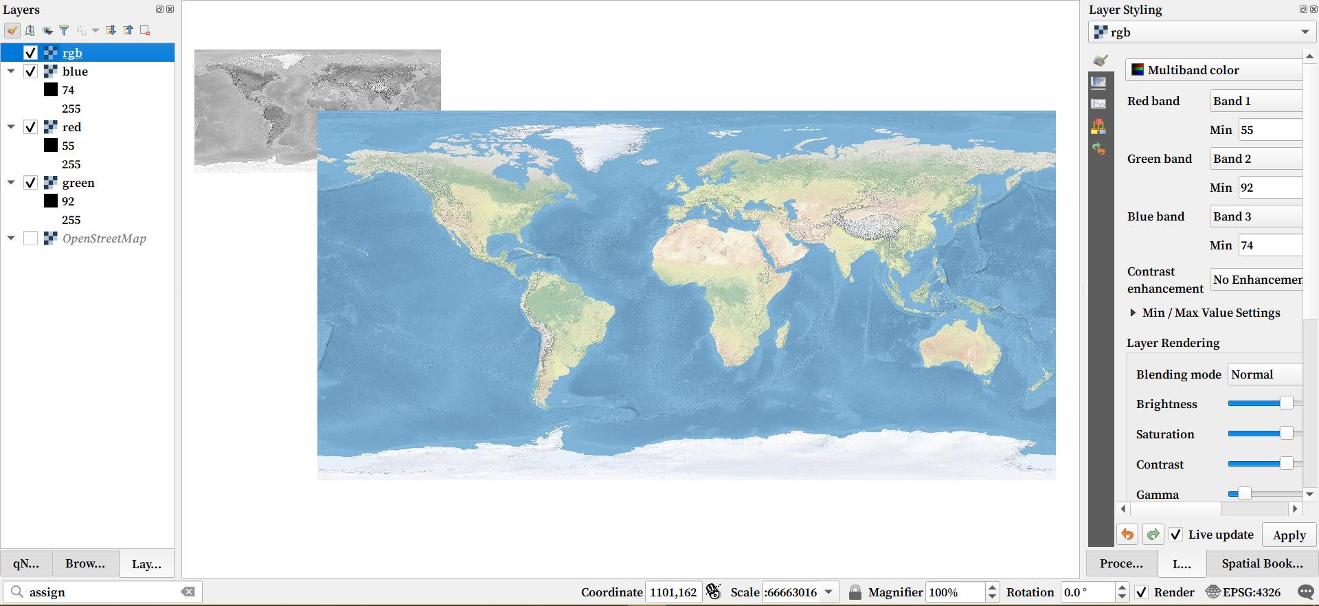
I run gdalbuildvrt -a_srs EPSG:4326 -separate rgb.vrt red.tif green.tif blue.tif to create a VRT. The output VRT file is incorrectly placed and its upper left corner is placed exactly the center of the input.tif files. NE world map .vrt file incorrect location
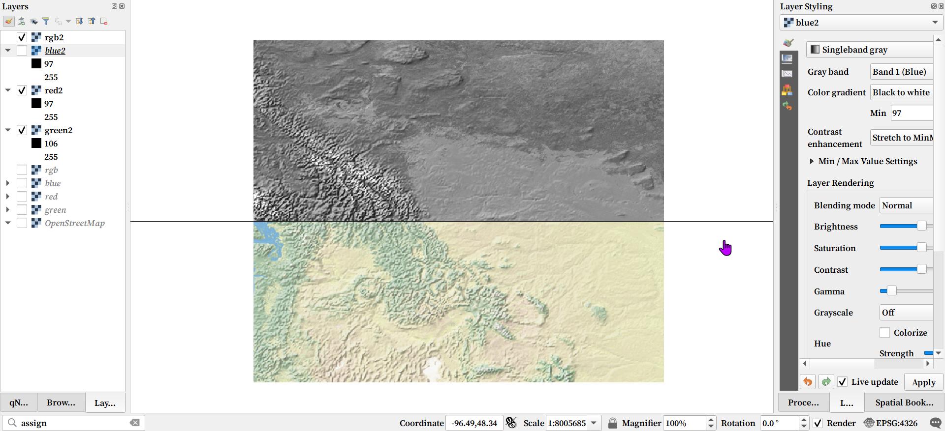
However, when I run the same process using a subset of the NE map, the output VRT file is correctly placed. The images are not split in half, I'm just using the Map swipe tool. NE world map SUBSET .vrt file CORRECT location
4
  • 1
    Looks like your map is not in 4326 - look at the coordinate values (1101,162)
    – Ian Turton
    Commented Oct 23, 2021 at 15:51
  • Yes. But when the cursor is within one of the source RGB .tif files, the coordinates are valid. Only time it goes beyond 180 and 90 is when the cursor is within the output VRT that's not in the lower right quadrant of the source tif file.
    – BallpenMan
    Commented Oct 24, 2021 at 6:47
  • What does gdalinfo show about the coordinate system, extents, and pixel size of red.tif, green.tif, and blue.tif?
    – user30184
    Commented Oct 25, 2021 at 7:12
  • imgur.com/a/TV5GdG1
    – BallpenMan
    Commented Oct 25, 2021 at 12:09

0

Your Answer

By clicking “Post Your Answer”, you agree to our terms of service and acknowledge you have read our privacy policy.