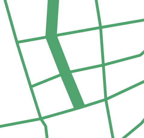
I'm drawing roads with different widths. The road data is constructed using GeoJson. (Each road is represented with a LineString.)
When I draw the roads with almost the same width, a trivial, direct drawing solution, i.e., each road is drawn as a polyline, it will look good:

However, if some roads have huge width, things become complicated. Direct drawing will result into some offset at the junction:

I think I can get the contour path of the road with huge width, and compute the intersect point of the wide road and the roads that it crosses with.
Then an irregular polygon is drawn to make it the cross smoother. But this is not elegant.
I'd like to explore a more elegant way to fix this despite the performance.
