With ArcGIS for Desktop, I tried a datum conversion of Transverse Mercator ED50 Datum to Transverse Mercator WGS84 Datum.
Normally, the difference between two projections is approximately 180 meters but when the conversion is completed with ArcGIS' "Project" tool, the shift of the two features becomes 80 meters, not 180 meters.
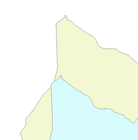
On a projected data frame, ArcGIS shows the exact same place for two datums, which is an expected issue, but in fact the WGS84 one is not at the correct location.
After completing this process with a different software I opened two features on the same data frame with an ED50 datum.
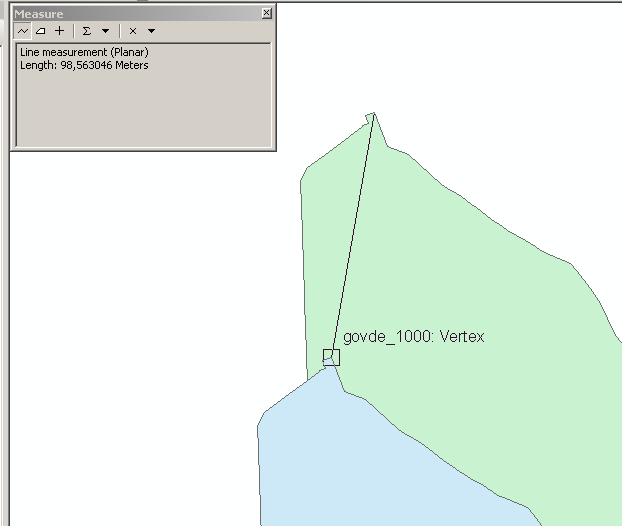
Features are not on the exact locations and there is approximately 100 meters visualization error (it means, the datum conversion error of the ArcGIS is 100 meters):

A data frame without a projection and datum shows the real difference between the datums, which is approximately 180 m:

Is this a known issue with ArcGIS or is there a solution for converting ED50 to WGS84 with "Project" tool of ArcGIS correctly?
