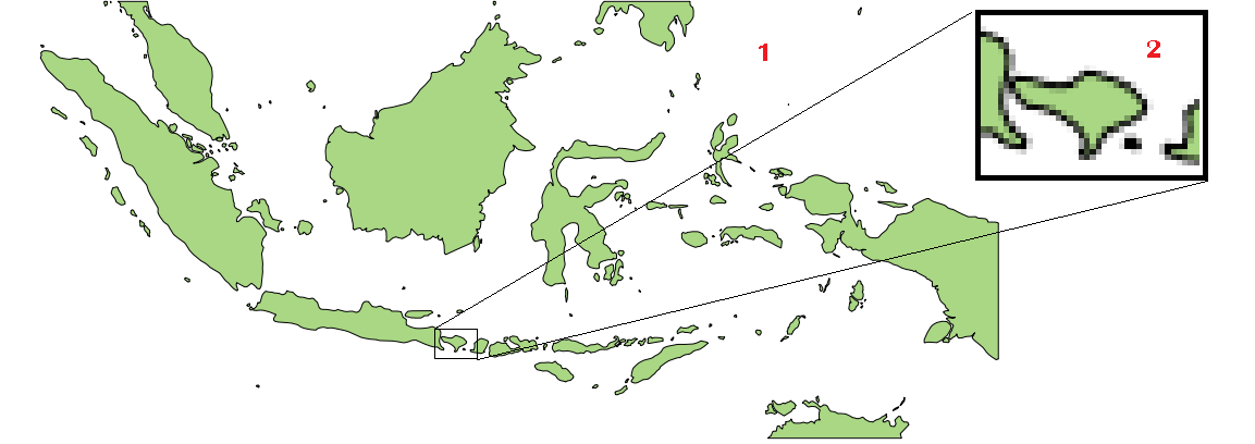
I have a shapefile and I need to crop/clip it based on a rectangle of particular latitude and longitude using QGIS.
If it is possible, how do I do that?

I have a shapefile and I need to crop/clip it based on a rectangle of particular latitude and longitude using QGIS.
If it is possible, how do I do that?

You can create another layer, draw a box by your coordinates and follow the already referenced answer How to crop Shapefiles in QGIS?. I would myself use ogr2ogr with the -spat parameter. If you want also to clip the selected features with the selection box use -clipsrc [xmin ymin xmax ymax]|
QGIS Processing toolbox has a GDAL raster tool in "GDAL/OGR - Extraction - Clip raster by extent". Similar tool for vectors would be generally useful. Perhaps you could make a QGIS feature request "Add a new GDAL/ORG tool: Clip vector layer by extent".