I am trying to calculate volume using the GRASSplugin. I have my area information in vector format and my depth information in raster. I read that it is important to set the raster resolution before using GRASS. How do I know what resolution to use? My extent is currently the entire world for this project but it doesn't need to be.
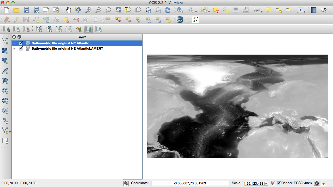
Here is a tiff of the area I am working with: It is currently in WGS84 but I will save it as a custom CRS using lambert, centered at 70degrees:

