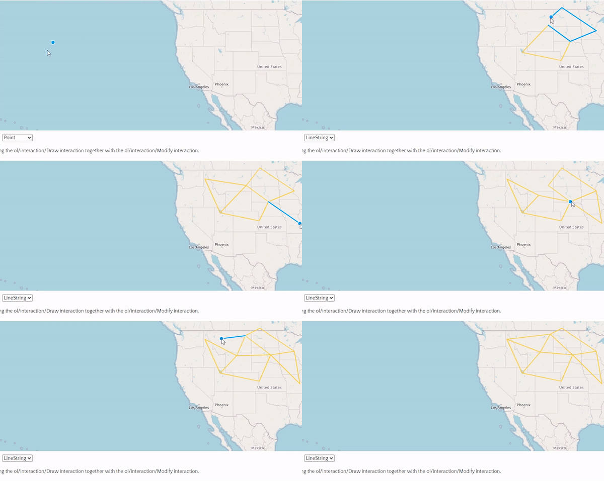
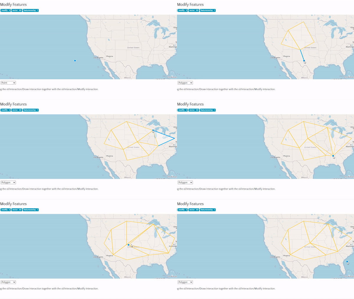
I’m facing this issue: I have a chloropleth map based on a set of polygons with some data. Using WFS-T (postgis, geoserver, openlayers) I am able to edit the geometry of the polygons. This works fine.
My polygons look like state borders. They have shared border vertices. When I edit the geometry of some polygon (e.g., move vertices using modifyFeature), I need to affect the geometry of any neighboring polygon. There shouldn’t be holes or overlaps.
Is it possible to do it?
Thanks


