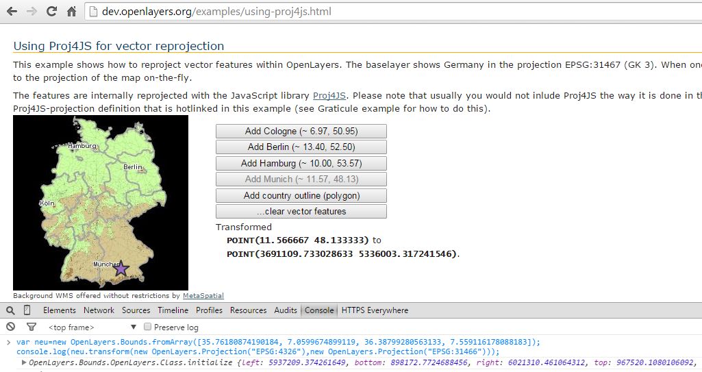
All the layers in my application are EPSG:31466. However, if I retrieve the capabilites:
        var wms = new OpenLayers.Format.WMSCapabilities();

        OpenLayers.Request.GET({
            url: myUrl,
            success: function(e){

                var response = wms.read(e.responseText);
                var layerObj = response.capability.layers[0];
                console.log(layerObj.llbbox);

            }
        }
The BoundingBox' Coordinates are given in a totally different format.
In EPSG:31466 I would expect them to be similar to new OpenLayers.Bounds(363060,5770362,363496,5771118), but in fact they are like this: [-23.015284514192917, 48.276782941782315, -22.953739137948624, 48.29765968309495].
Looks like a different format, but why and how do I change this?
    console.log(layerObj.llbbox);
    var my_extent=new OpenLayers.Bounds(layerObj.llbbox).transform(new OpenLayers.Projection("EPSG:4326"),map.displayProjection);
    console.log(my_extent);
Console Output:
 [-23.015284514192917, 48.276782941782315, -22.953739137948624, 48.29765968309495]

Object { left=-23.015284514193, bottom=48.276782941782, right=-22.953739137949, more...}


Lat-Lon Bounding Boxand not fromNative Bounding Box, which I want to have : docs.geoserver.org/latest/en/user/webadmin/data/…