6

I have been experiencing an issue when creating image services that contain multiple imagery sets. The method I have been using to create the image services is to create a mosaic dataset, add the images, publish the image service, create a tile cache and manually copy it over to the server. When I use a single set of imagery (from one location) the image services display fine. When I combine more than one set of imagery, the image service displays black.

Both sets of imagery are the same pixel type and depth, and have the same number of bands.

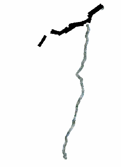
Here is a screen shot of what the cached tiles look like.
enter image description here

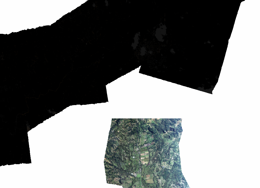
If you look at this close up of the same image, you can see that the black images are not completely black, but so dark that you cannot see the features in the image. I have also tried recreating the statistics for the mosaic dataset before creating the image service.
enter image description here

I have not been able to figure this out, does anyone have any suggestions?

11
  • do you have the ArcGIS Image Service Extension?
    – MDHald
    Commented Sep 2, 2015 at 15:03
  • Yes, I do. There are times where I have published multiple sets and they will work fine. If I published the set that shows up black in the above picture by itself, it would be fine. The problem occurs only when combining certain sets.
    – Michael B
    Commented Sep 2, 2015 at 15:07
  • hmm strange. figured the extension would have corrected the issues. I have had a problem similar in the past where black and white images took over and black spots were all over the map. I found out that there were multiple bands in the source imagery that caused the problem. For example ImageOne.jp2 has 3 bands and ImageTwo.jp2 has 4 bands. That inherent issue causes ArcMap to struggle. Take a look and see if your imagery does that?
    – MDHald
    Commented Sep 2, 2015 at 15:11
  • How does the mosaic dataset look before publishing to an image service? If there ares till black tiles in ArcMap/ArcCatalog on the mosaic dataset itself, there lies the problem.
    – LMHall
    Commented Sep 2, 2015 at 17:24
  • You can try to 'Calculate Statistics'. Open mosaic dataset properties and click the General tab. Scroll down to Statistics and click the Options dropdown. Run Calculate Statistics. It may take a while if the raw data is large.
    – LMHall
    Commented Sep 2, 2015 at 17:25

1 Answer 1

4
+50

So this is what I think is happening to you: enter image description here

and this is why when you combine your rasters your resulting image is almost all black. Because there is too much variation in their min-max values when you combine them. So you need to find where is most of your data and do some stretching, even edit min-max values. You can use the symbology tab of your image in the mosaik or go to the Image analysis window (windows -> Image Analysis) and do there the stretching.

2
  • Your explanation sounds like it could be exactly what has happened, I posted this half a year ago when I was working on this project, so I will have to find some time to try and go back and dig through the data and verify. I will let you know as soon as possible. Thanks a lot!
    – Michael B
    Commented Sep 4, 2015 at 13:30
  • Great! I hope you can solve it!
    – Albert
    Commented Sep 7, 2015 at 16:10

Your Answer

By clicking “Post Your Answer”, you agree to our terms of service and acknowledge you have read our privacy policy.

Not the answer you're looking for? Browse other questions tagged or ask your own question.