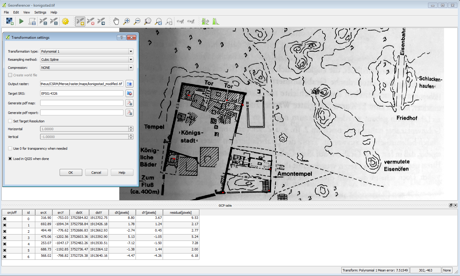
I cannot get QGIS's (2.8.2 Wein/Win 7) georeferencer to work for the life of me. I select points, set the CRS, run the function,
 https://i.sstatic.net/9JoOt.jpg
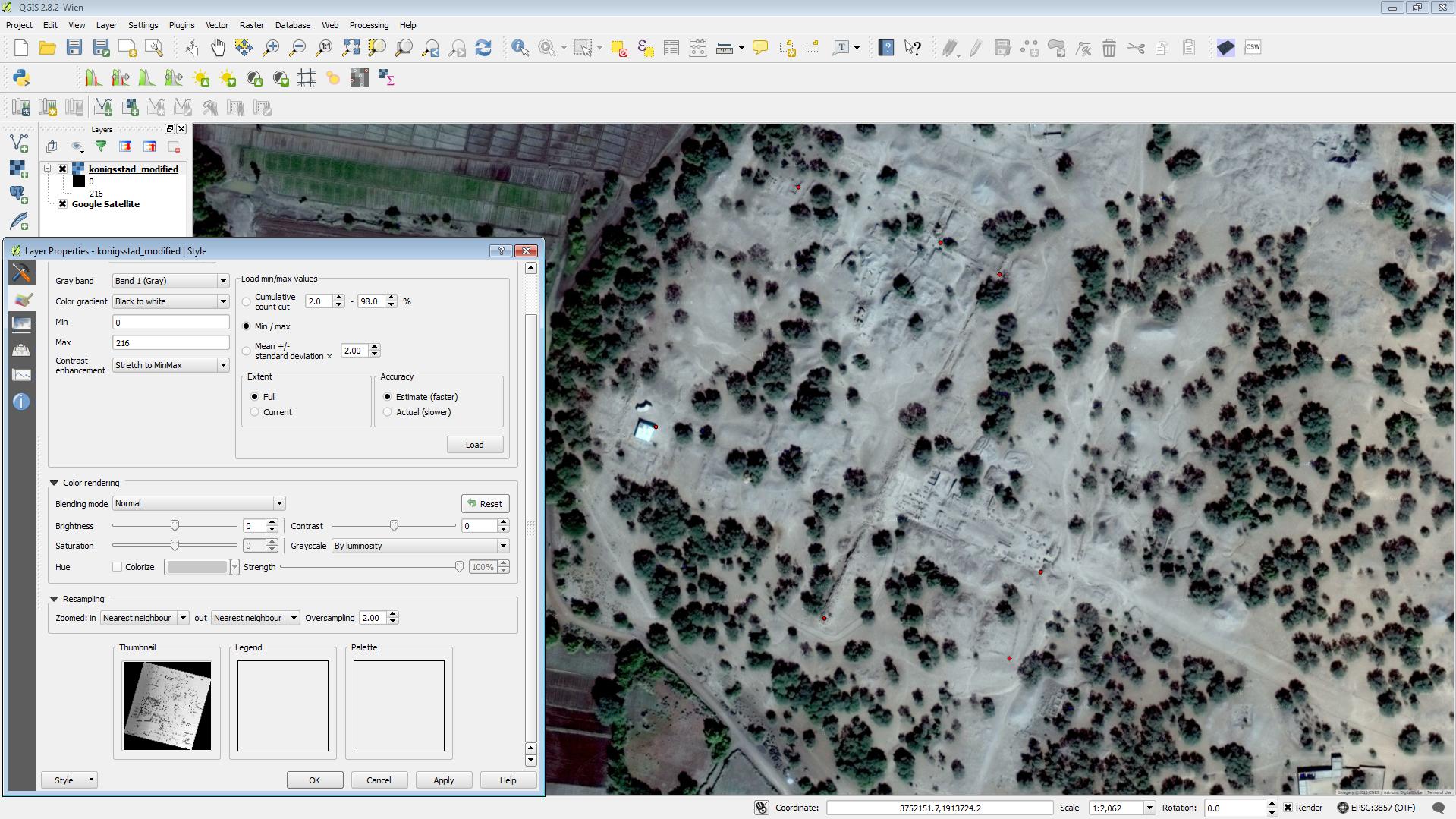
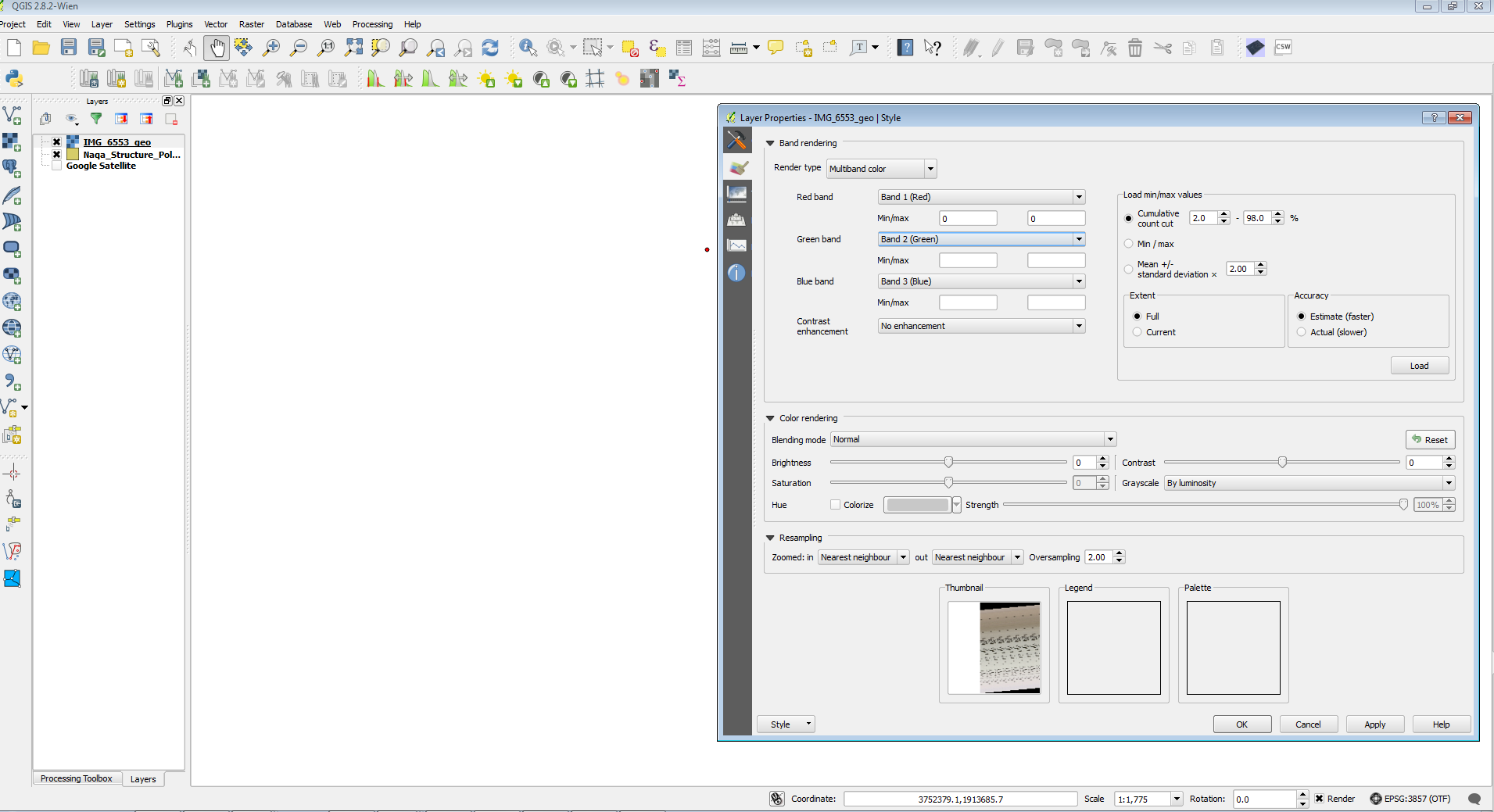
and the output looks like this.
 https://i.sstatic.net/41Nry.png
Blank on the map, set to 0 to 0 in the red band and blank in the others in Layer properties (hitting Load changes these values, but apply does not change the screen and the changes are not maintained after I close the properties window), but a garbled thumbnail of the original image still appears. Zoom to layer does not change the display location. Original image in .jpg.
I've seen bug reports for this (or similar) issue stretching back to 1.8 but never any resolutions. Where am I going wrong?
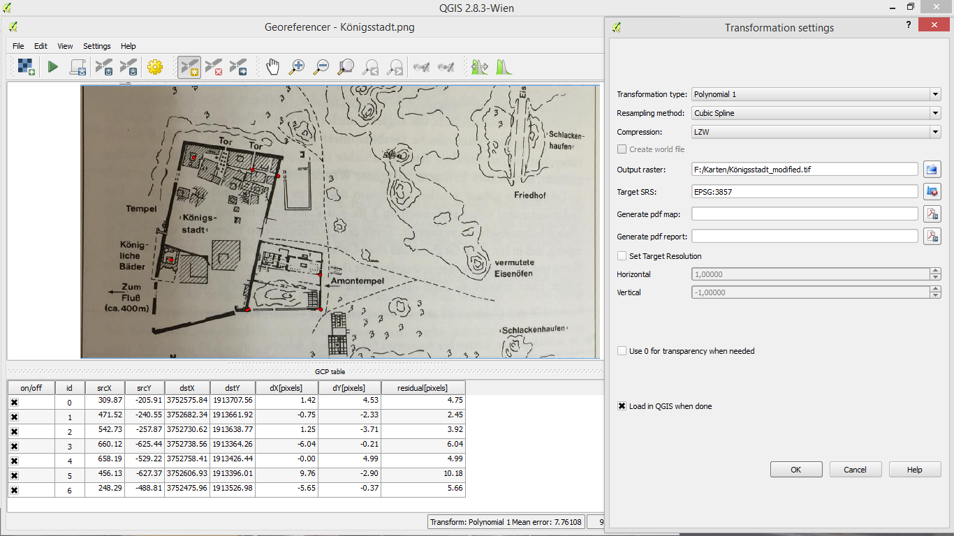
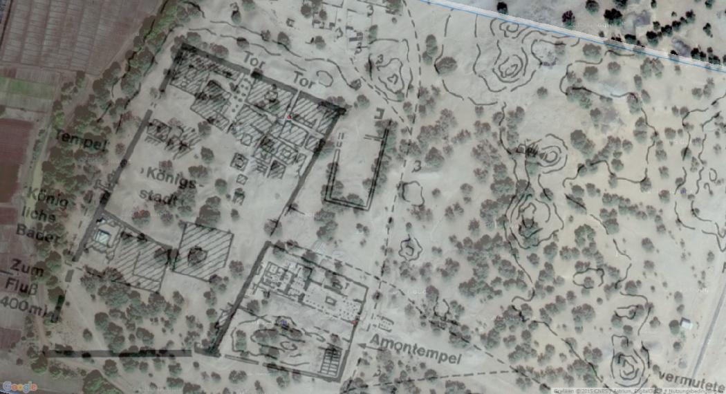
edit: Andre, using your method produced the same result, unfortunately. I cannot seem get a useable image out of the georeferencer, even with adjusting the stretch values, unloading/reloading, et c.

