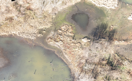
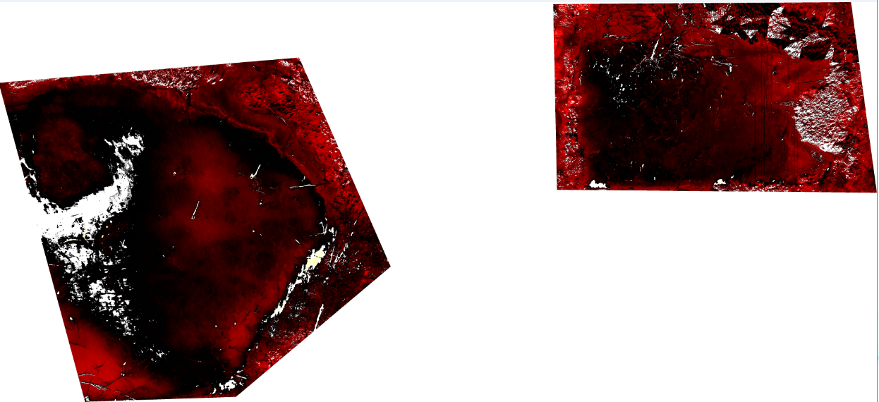
If I understand correctly, you have 2 sets of tiles:
- The aerial imagery (your top image).
- The "processed cuts" (your bottom image), derived from the above, that you would like to superimpose onto the above tile set, and in particular have the areas of no interest ("no data" / white areas?) be transparent.
Obviously the "easiest" solution would have been to set your "no data" areas as transparent pixels in your tile set in the first place. Not sure however how you would configure your tool to export your TIFF into tiles with transparency.
Another "easy" solution would be to apply an opacity < 1 to your whole superimposed tile set. If you go that direction, you may be interested in Leaflet.OpacityControls plugin, which provides a slider to dynamically adjust the opacity of your tile layer.
A more complex solution is available if you have the coordinates of boundaries of your areas of interest (ideally as GeoJSON polygon / multipolygon). In that case, you would be interested in TileLayer.BoundaryCanvas plugin: given the usual parameters and options of a Tile Layer + an extra option specifying those boundaries, it provides with a Canvas Tile Layer where areas outside of your boundaries are transparent, while areas of interested are filled with your normal tiles.
Not sure whether you can combine the last solution with the opacity controls plugin…
See also:


