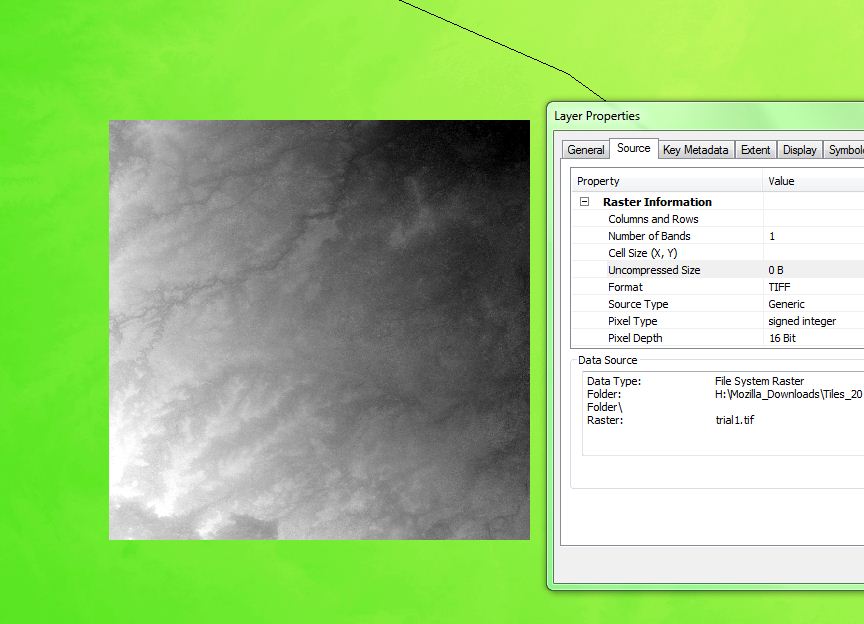
This looks like an issue with ArcMap. I've been able to load this specific tile into QGIS, SAGA GIS and gvSIG without any problems (all of these use GDAL to open the raster)
QGIS does record the size correctly (3601 x 3601) and GDAL reports the pixel sizes...
Here's the gdalinfo output with metadata
$ gdalinfo ASTGTM2_N30E041_dem.tif
Driver: GTiff/GeoTIFF
Files: ASTGTM2_N30E041_dem.tif
Size is 3601, 3601
Coordinate System is:
GEOGCS["WGS 84",
    DATUM["WGS_1984",
        SPHEROID["WGS 84",6378137,298.257223563,
            AUTHORITY["EPSG","7030"]],
        AUTHORITY["EPSG","6326"]],
    PRIMEM["Greenwich",0],
    UNIT["degree",0.0174532925199433],
    AUTHORITY["EPSG","4326"]]
Origin = (40.999861111111109,31.000138888888888)
Pixel Size = (0.000277777777778,-0.000277777777778)
Metadata:
  AREA_OR_POINT=Area
  TIFFTAG_DATETIME=2011:03:15 19:52:13
  TIFFTAG_DOCUMENTNAME=created at
  TIFFTAG_IMAGEDESCRIPTION=SILC TIFF
  TIFFTAG_RESOLUTIONUNIT=2 (pixels/inch)
  TIFFTAG_SOFTWARE=IDL 7.1.1, ITT Visual Information Solutions
  TIFFTAG_XRESOLUTION=100
  TIFFTAG_YRESOLUTION=100
Image Structure Metadata:
  INTERLEAVE=BAND
Corner Coordinates:
Upper Left  (  40.9998611,  31.0001389) ( 40d59'59.50"E, 31d 0' 0.50"N)
Lower Left  (  40.9998611,  29.9998611) ( 40d59'59.50"E, 29d59'59.50"N)
Upper Right (  42.0001389,  31.0001389) ( 42d 0' 0.50"E, 31d 0' 0.50"N)
Lower Right (  42.0001389,  29.9998611) ( 42d 0' 0.50"E, 29d59'59.50"N)
Center      (  41.5000000,  30.5000000) ( 41d30' 0.00"E, 30d30' 0.00"N)
Band 1 Block=3601x1 Type=Int16, ColorInterp=Gray
This answer covers how to use a VRT to mosaic images and has some useful links. Arc allegedly supports this format, but I'm not in a position to check this. You could use Merge, but according to my calculations this would give a 70k x 70k raster.

