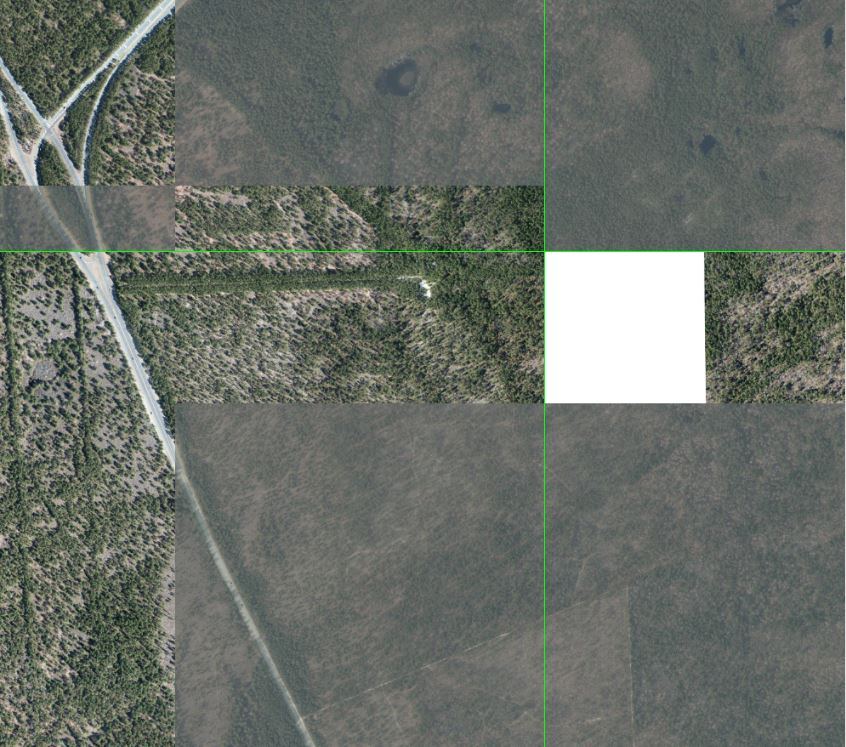
I'm trying to add high resolution orthoimagery from the USGS to a mosaic dataset in arcMap. When I "Add rasters to mosaic dataset" most of the rasters load in fine, but some have strips of white area and other places are sort of grey, low contrast. I checked Update Overviews. Please see the image below as an example of the issue. Also, as you zoom in the grey/white areas go away. Any ideas?
-
Is this over a military base or other critical infrastructure element? USGS data is downsampled or redacted as appropriate for homeland security purposes.– VinceCommented Mar 17, 2016 at 2:11
-
I've no idea concerning the grey ones but the white areas could be a result of the maximum downloadable images. Please have a look at the Mosaic Dataset Properties ==> Defaults ==> Download Properties ==> Maximum Number of Items Downloadable per Request– PropperCommented Mar 17, 2016 at 6:41
-
It is not over any critical infrastructure. The download settings didn't help. I went ahead and built footprints, seamlines, and rebuilt the overviews and all the white/gray areas moved to different locations.– R. AndersonCommented Mar 17, 2016 at 12:00
1 Answer
From Esri Technical Support: "The caching process sometimes creates blank and/or white tiles when using Mosaic datasets."
Their recommendation at https://support.esri.com/en/technical-article/000011325 is to bump the number of maximum number of rasters per mosaic dataset from the default of 20 to 100 (right click mosaic dataset > properties > defaults tab > Maximum Number of Rasters per Mosaic). This worked for me for WorldView-2 imagery.
Instead of changing the maximum number of rasters per mosaic default value, clicking the Dynamic Range Adjustment button also worked for me (in Pro this is: highlight mosaic dataset in Contents: Mosaic Layer ribbon > Appearance > DRA (next to Stretch Type).
