2

I have a problem in Qgis. I have two elevation maps, both is raster. They are both DEM maps, one showing the topography without buildings, and one showing the topography with buildings. From these two DEM's I want to make a new DEM showing the height of the buildings.

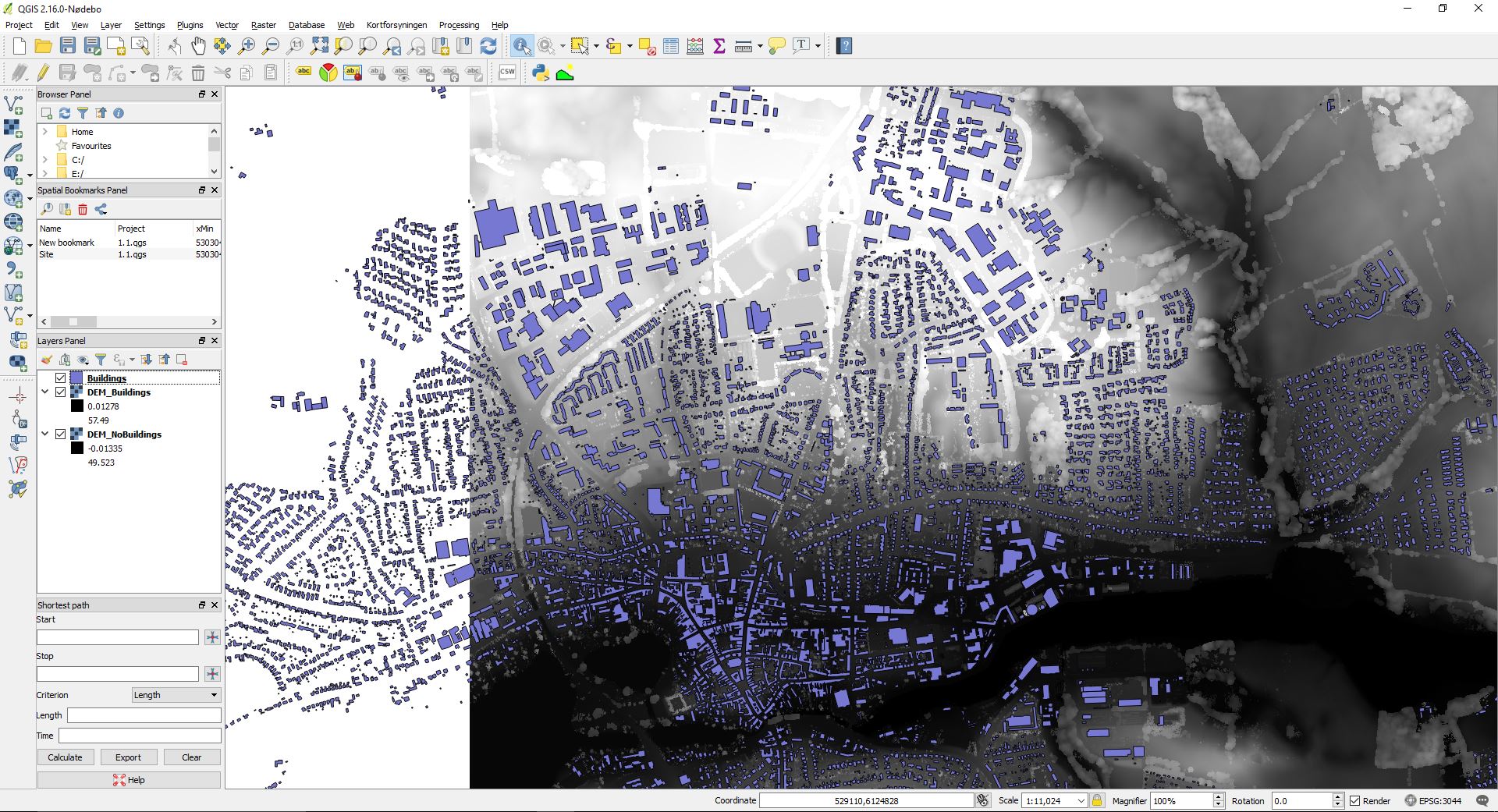
Image that shows the current data in Qgis

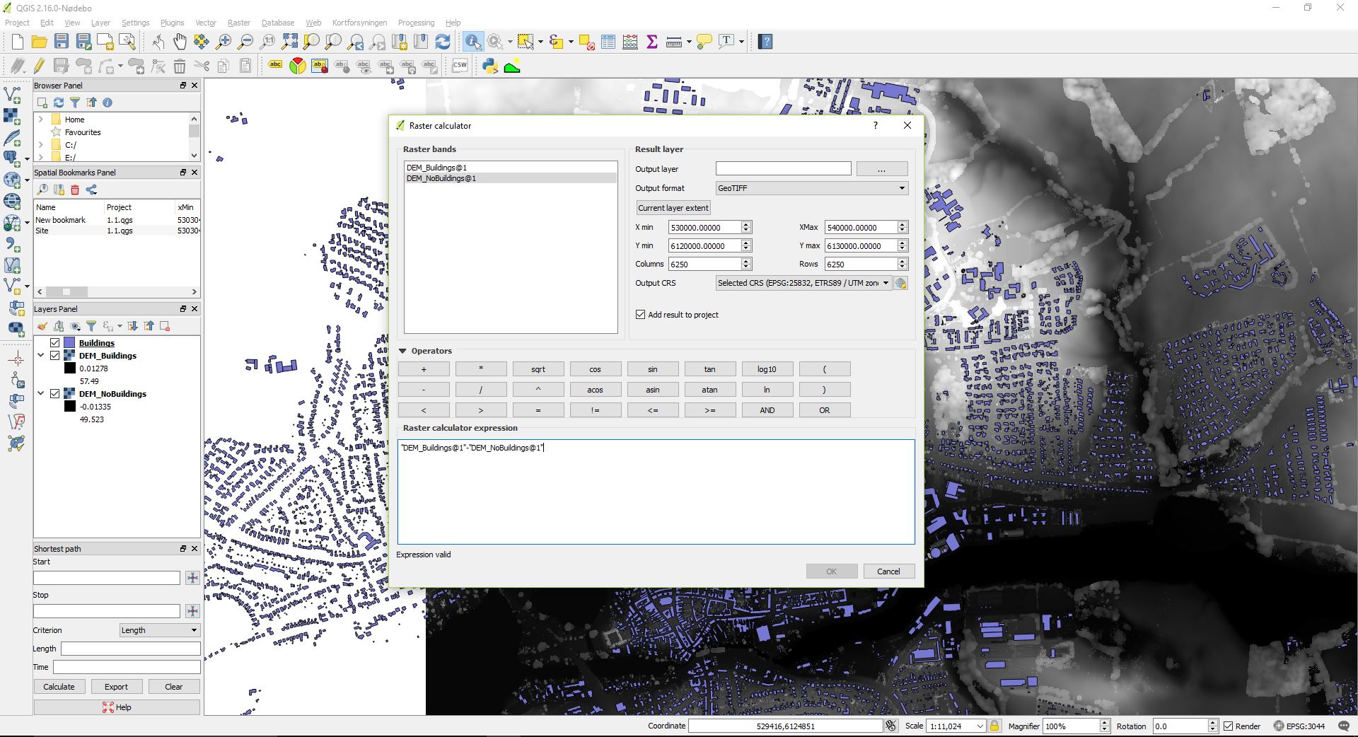
I tried to use the raster calculator

enter image description here

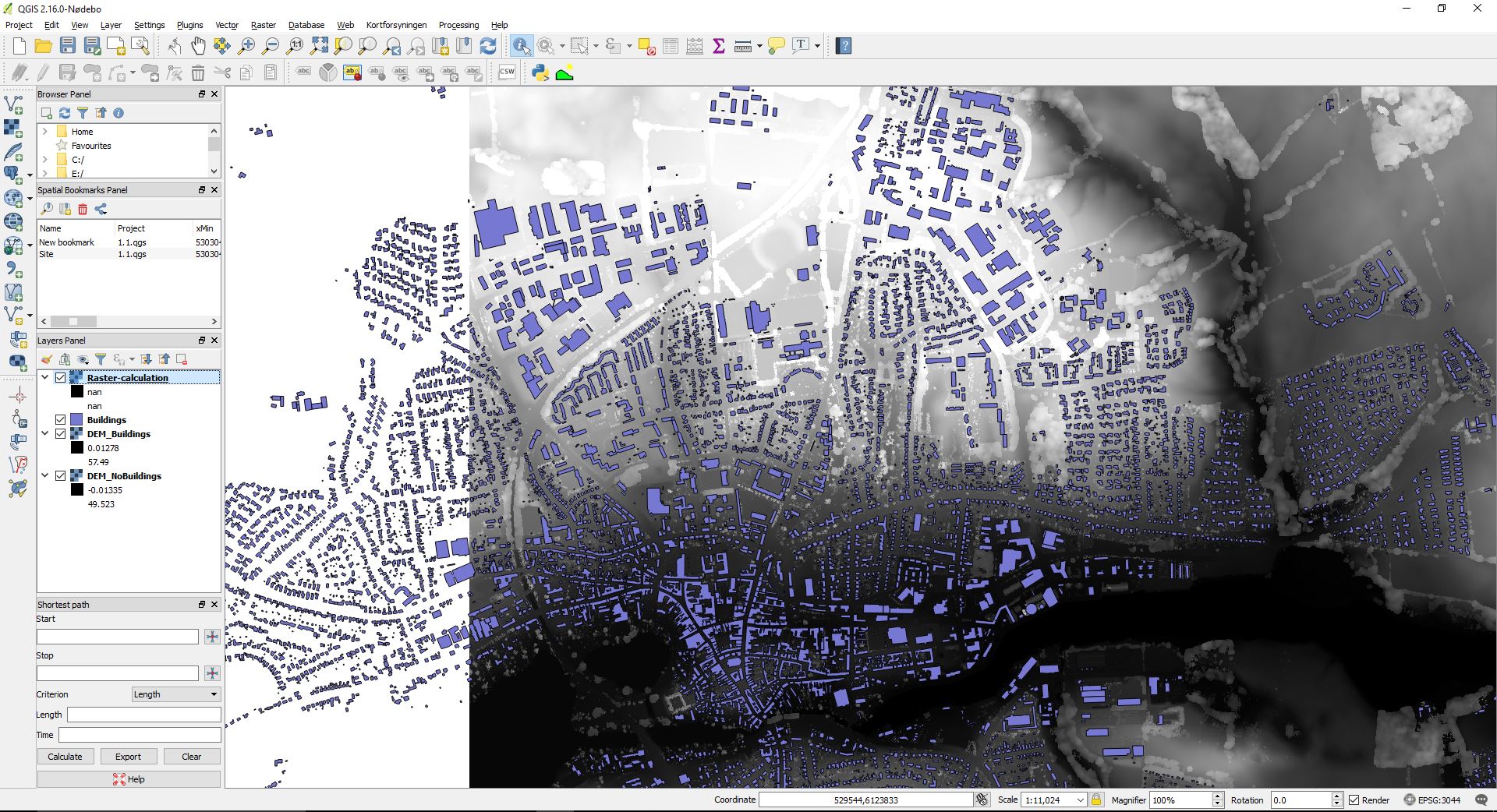
But this just generates a layer where nothing is shown.

enter image description here

The new DEM should be used to add a new attribute to the polygons stating the mean elevation within each polygon, any help on that aspect as well?.

1
  • i see you have the dreaded 'NaN' raster. Does this question help at all? (Are the rasters using the same projection?). Also, what do you see in the band statistics (layer properties > metadata > properties > band 1), are there any very extreme values?
    – Steven Kay
    Commented Aug 26, 2016 at 20:48

0

Your Answer

By clicking “Post Your Answer”, you agree to our terms of service and acknowledge you have read our privacy policy.

Browse other questions tagged or ask your own question.