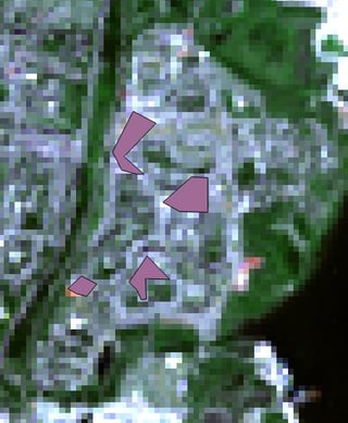
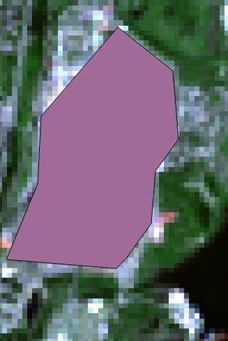
For the supervised classification I use: QGIS, Semi-Automatic-Classification Plugin, a Landsat-8 Satallite Image and the CORINE Land Cover classes (http://uls.eionet.europa.eu/CLC2000/classes/index_html)
My goal is to perfom a high quality classification.
So far I know it is important to have many reference-areas with high correlation between actual surface and created class. Sounds easy! But it isn't! Because the entire landscape doesn't fit into just some classes.
For example: What is the "better" way to go to classify urban areas? Creating one large polygon and ignoring some green areas or creating many small/tiny polygons but therefor having less different pixels inside the polygon.
 ;
; 
Also how do I figure out how many classes are needed? So far I decided to perform a level-1 CORINE classification, which means 5 classes. What else is important to know in terms of a high quality classification?
